
CLIMANATRES
Climate-proofing ecological restoration plans in the middle and lower Danube Region.
Our project and we are committed to creation of habitat suitability models & maps for the region, apply them to climate change scenarios, produce decision support tools to underpin restoration mapping, test their applicability and work out their applicability in seamless restoration planning in the region.
Our main goal
We Introduce you Interreg Danube project CLIMANATRES, a collaborative initiative aimed to ensure more efficient adaptation to the negative impacts of climate change on habitat types including EU priority types in the ecological corridor of the middle and lower Danube.
To achieve this goal, we aim at improving and applying existing potential habitat distribution models that reflect climate conditions. The ultimate aim of the project is to contribute to the national Nature Restoration Plans and management of protected areas and ecological corridors. Consequently, we focus on the well-represented and plausible confined lowland and low mountain areas for which we also have long developed and reliable modelling methodology to serve the needs of nature restoration planning.
However, in a region, where climate is expected to shift that in turn is expected to induce shifts in vegetations, single-country climate change impact assessments are suboptimal. The proposed project is the first, that would allow the coherent assessment of both habitat-environment relationships and climate change impact over a region, where present-future climate analogues can be found.
Who are we?
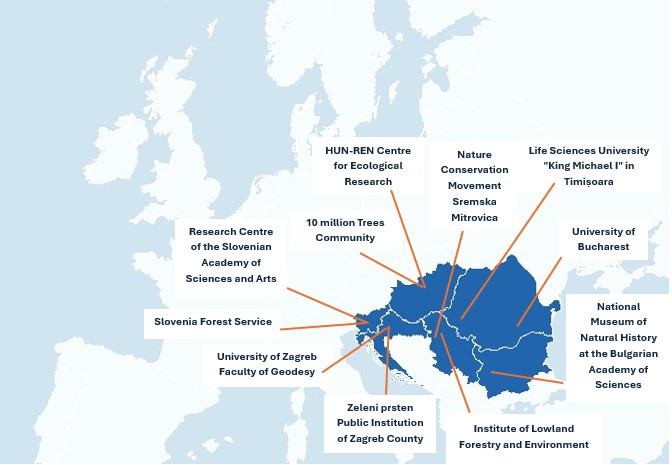
Our consortium, comprised of diverse stakeholders from 6 countries, including ecological research institutions, univeristities, NGOs, public institutions and ministries, aims to contribute to the national Nature Restoration Plans and management of protected areas and ecological corridors.

Why Climanatres project?
EU has announced to strive to be the first climate-neutral continent by 2030 in the Green Deal document. A major pillar of this target is the Biodiversity Strategy 2030 that aims to restore nature in the EU. The target of climate-resilience cannot be decoupled from fighting biodiversity loss, as a major driver of climate change is land use intensification resulting in carbon emissions and biodiversity loss at the same time. Therefore a great challenge for Europe is how to reverse biodiversity loss. The Green Deal together with the Biodiversity Strategy 2030 is a great opportunity to make effective changes in this direction. Climanatres can greatly improve science behind restoration planning possibly related to the NRL but also beyond, as well as other activities to manage protected or high nature value land under climate change. The joint planning of restoration would ensure functionality of the restored ecosystems as part of the green infrastructure, corridors and habitats for organisms with broad-scale habitat use.
Project logic and motivation
With the co-operation of a wide range of academic and, local and national level partners the project aims to produce freely available maps that express the sutiability of locations for various restoration aims, such as habitats of community interest, corridor stepping stones, long-term self-sustainable habitats under climate change.
The chief motivation of the project is to provide scientifically supported decision support and planning tools for harmonising ecological restorations overarching borders along the Sava and Danube corridor. The support is intended to aid the implementation EU Nature Restoration Law and further harmonised ecological planning (Green Deal) taking expected climate change patterns, too.
Our first specific objective:
Modelling for climate-proof restoration planning and ecological corridor management
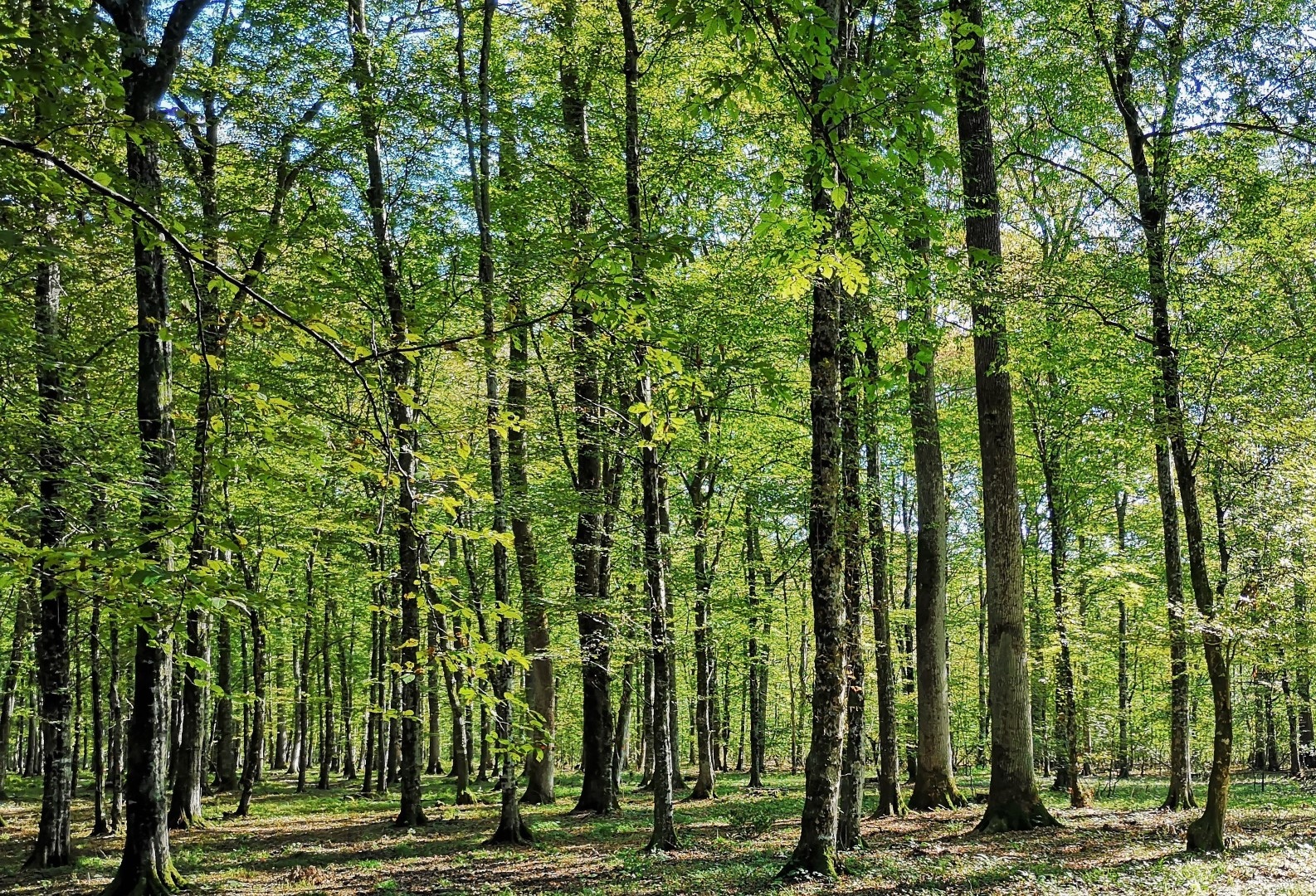
To lay the foundation for the scientific support for climate-proof restoration and ecological corridor planning we will develop predictive models of habitat distribution. We plan to apply the modelling framework developed and tested by the lead partner both in Hungary and abroad (Bayern, Germany as well as in the southern Pannonian basin of Slovenia, Croatia and Serbia). Thus, the modelling framework is available, however, the key objective is to apply it on the biogeographically and geomorphologically coherent area the broad corridor the middle and lower Danube presents. A particular virtue of this model application is that it will coherently represent habitat-environment relationships in this region.
Our second specific objective:
Building capacities for local planning of climate-smart habitat management and restoration
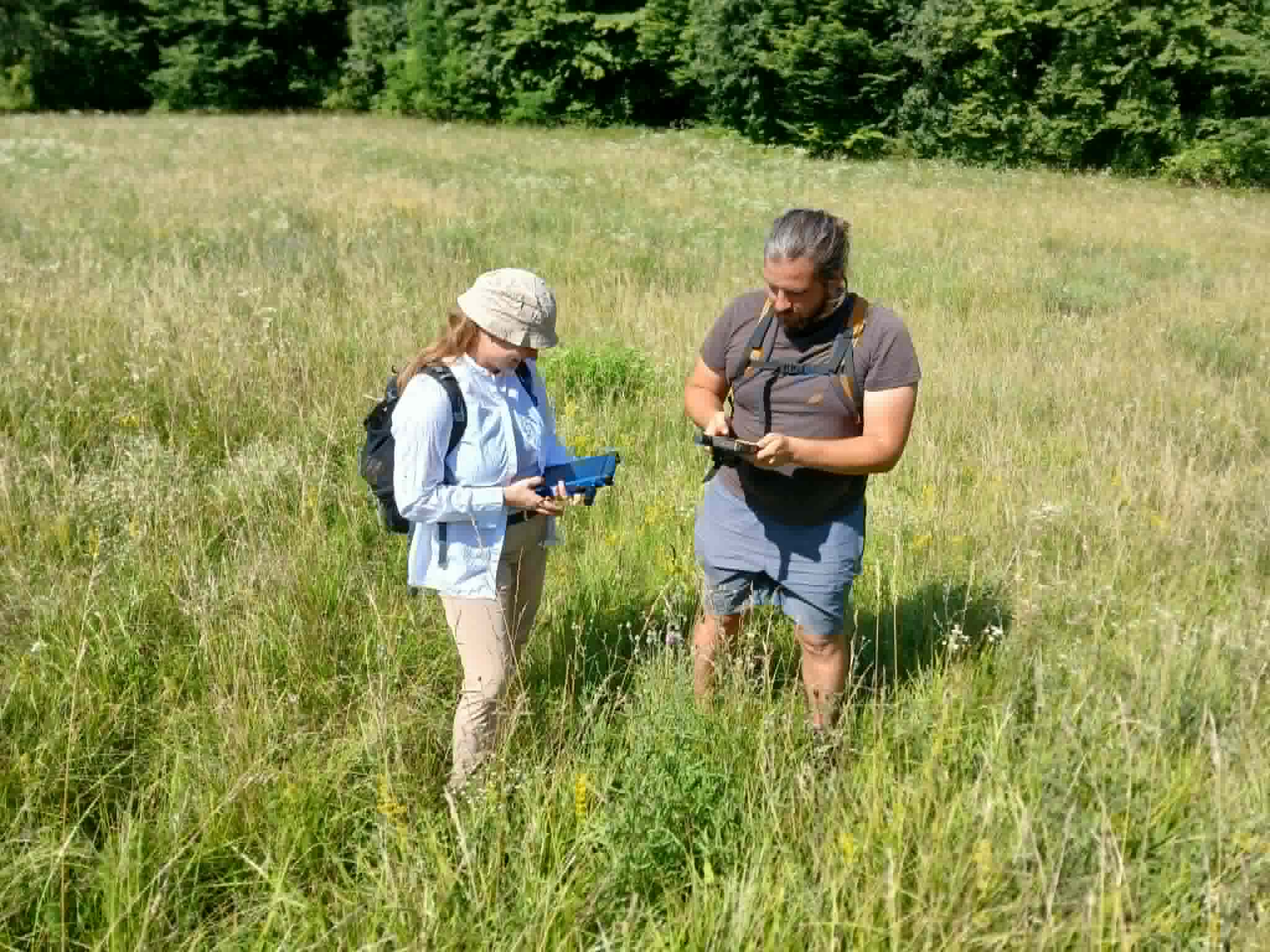
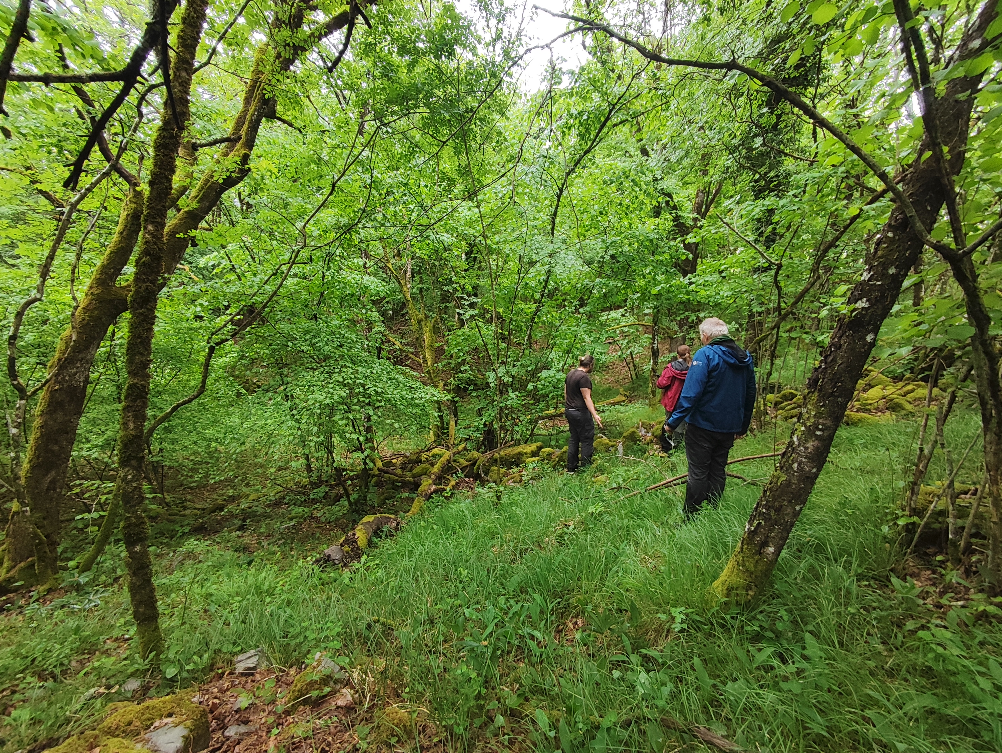
Potential Natural Vegetation models for the reference and future periods will provide overarching insight for the study region. The 1 km resolution targeted by these models is exceptional for broadscale databases on habitat suitability. However, the 1 km resolution does not directly guide local planning, where individual habitat patches are targets of conservation measures or restoration activities. The second specific objective of the proposed project is to translate the broad maps into local decision support. Translation of broad-scale results into local decisions will be carried out at representative pilot sites along two corridors within the region in focus: along the Sava river and along the Danube-Tisa catchment. Measurement devices synchronously installed locally, will provide input of site-specific data for model predictions. Thus, pilot actions will offer opportunity to interact and understand the challenges of using the overarching results in local decisions.
Our third specific objective:
Ensuring uptake of the project results for adaptive restoration and resilient ecological corridors
The third major objective of the project would be the utilisation of the results of the modelling and those of pilot projects. To serve this we aim to disseminate results also during and at the end of the project development. We will formulate strategic documents for the participating nature conservation actors. We aim to provide a strategy and guidline for the incorporation of modelling results into conservation planning: national or regional restoration plans, habitat management, enhancement of ecological corridors and fulfilment of obligations stemming from EU directives and strategies, such as the EUSDR, the Habitat Directive, the Biodiversity Strategy and in case it gets approved the Nature Restoration Law. Additionally, we also aim to empower local nature conservation actors to implement climate smart habitat management and restoration planning.

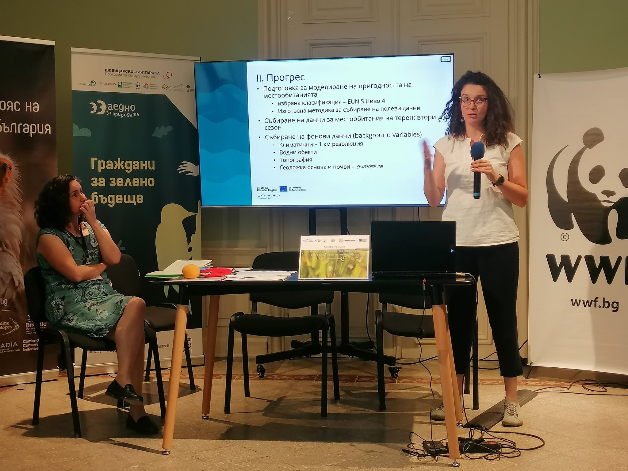
News & Events
Read the most recent updates and explore the upcoming events.

Project overview
Start date:
01 April 2025
Status: ongoing
End date:
31 March 2028
€ 1 983 340
budget
80.00 % funded by
Interreg Funds
6
countries
11
partners
Find the project on social media


Need any help? Contact us!

Imelda Somodi
Project manager
Nikola Banjac
Communication manager

Berki Boglárka
Finance manager

Would you like to receive project updates?
You're already part of our community!
Welcome to our newsletter community!
Subscribe to our newsletter