
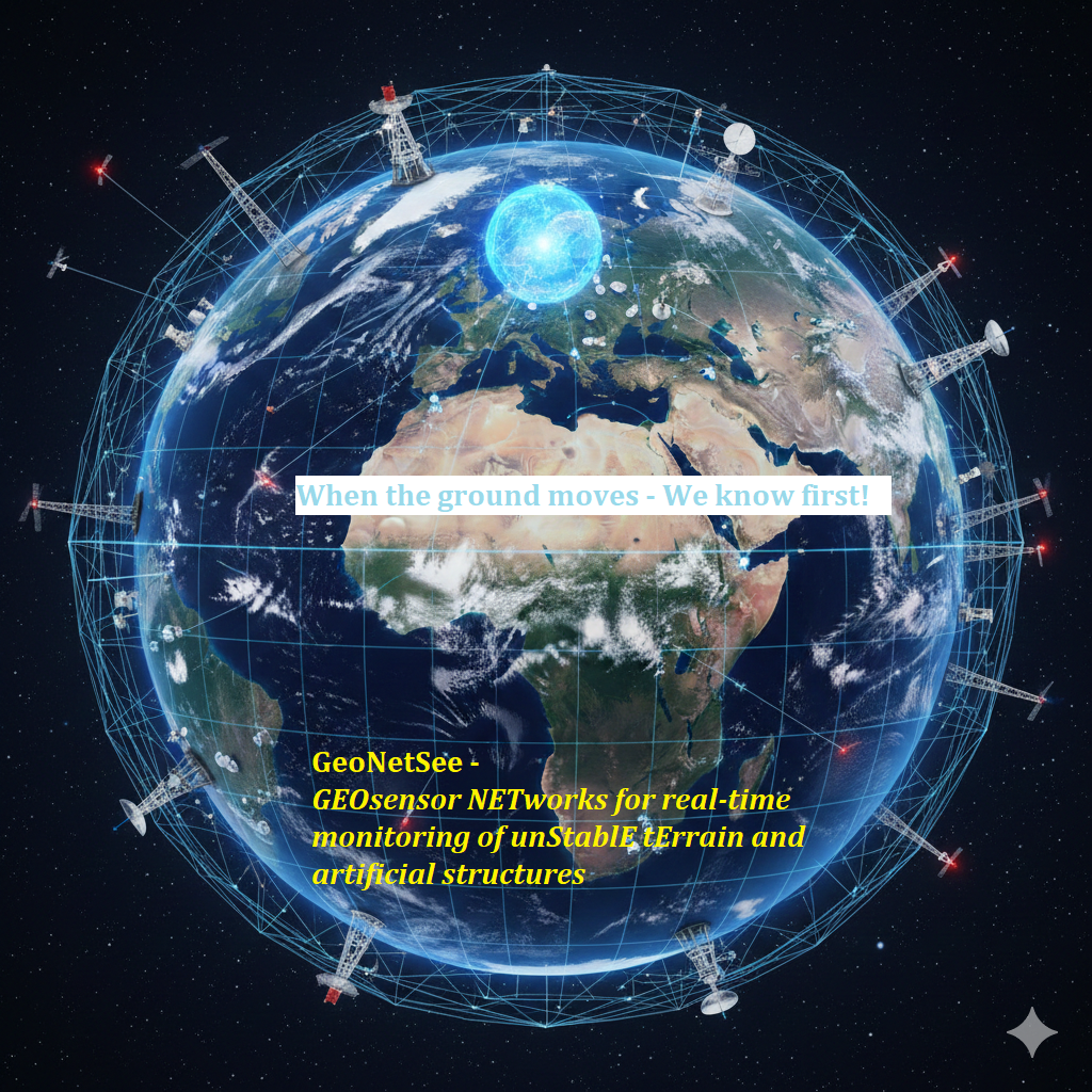

What is GeoNetSee?
GeoNetSee will create a solution for monitoring unstable terrain and artificial structures, which will include a geosensor network and a platform for collecting, processing, and visualizing collected data in real-time. An innovation chain of technology and knowledge-intensive activities within the DRP region will be created to close off innovation gaps and the uptake of advanced technologies for a smarter and greener Danube region. The project will rely on existing infrastructure, experience, and knowledge from previously implemented and ongoing projects of similar character managed by project partners (GIMS, RISE, GeoTwinn (Horizon); EXA4MIND, safEarth, RESPONSa (Interreg); eTeren, BORIS, SoFPAS, GeoSES (infrastructure EU funded projects); MontePN, TRMODELL (innovative and IPA); URMA (Europan Space Agency funded project)).
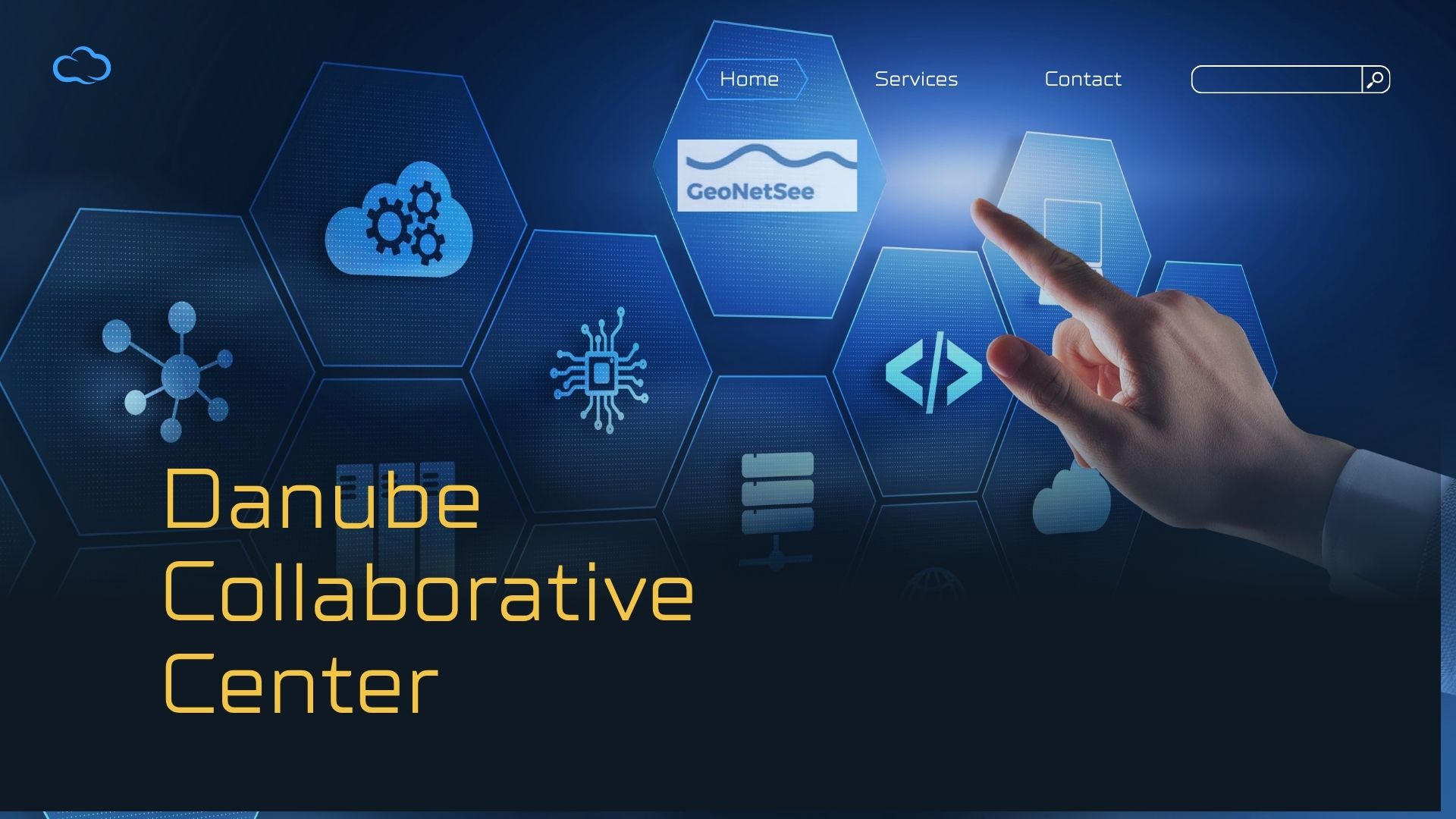
DCC platform
A collaborative digital platform that brings together universities, institutes, SMEs and governmental bodies will be established. This platform, called the Danube Collaborative Center (DCC) will share all collected data, research findings, best practices, and expertise in multidisciplinary domains. DCC will foster partnerships and collaboration with similar EU organizations and commissions, to leverage existing expertise, share resources, and align efforts in data collection, analysis, and knowledge sharing. As it will connect the DRP region, stakeholders and different research domains, it will transcend existing political borders and provide an opportunity for “vertical” communication between stakeholders (problem givers) and researchers (problem solvers).
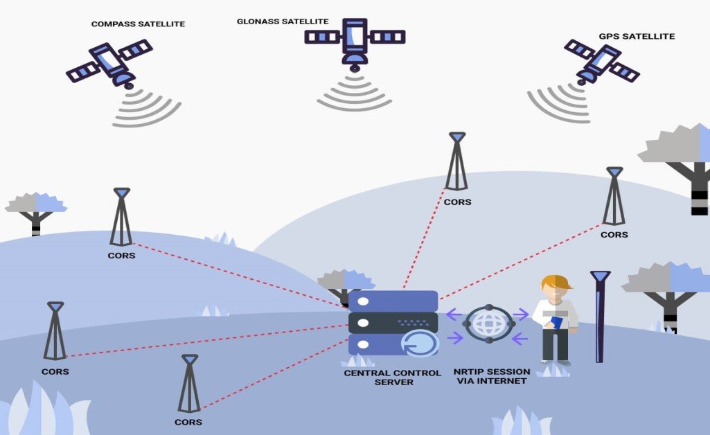
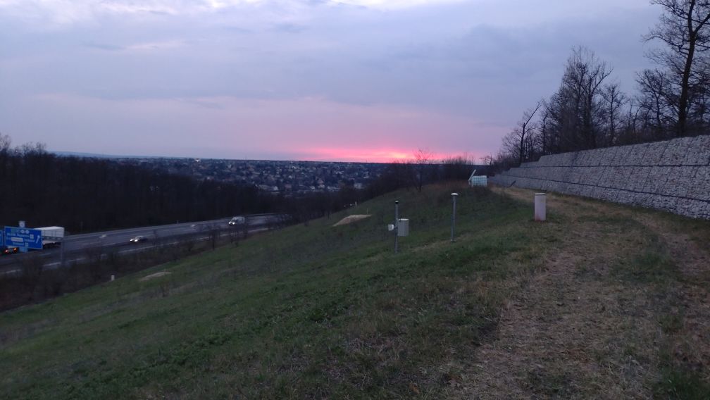
CORS stations
The solution will include the installation of permanent CORS stations in Serbia, Montenegro, and Bosnia & Herzegovina, that would join the European Plate Observing System (EPOS) which also includes the EUREF Permanent global positioning satellite systems (GNSS) Network (EPN). This will provide added value to the GeoNetSee and ensure bi-directional data flow between GeoNetSee digital platform and EPOS network.
What will GeoNetSee team do?
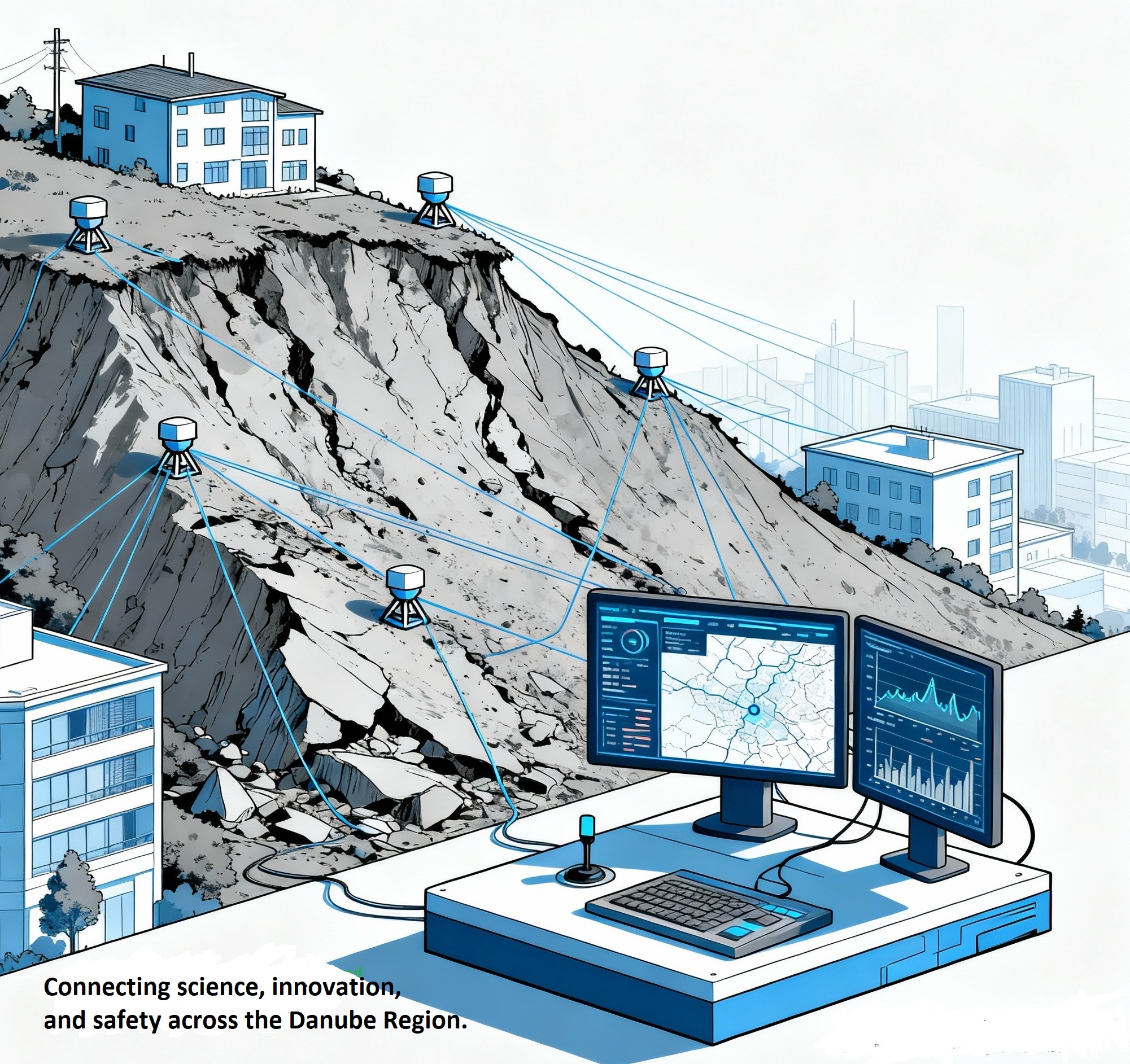
Unstable terrain knows no national borders, and the GeoNetSee team offers a solution that is important for all members of the DRP region and beyond. Using cloud technologies, anyone can access relevant data and detect measurement values that exceed the tolerance threshold. In this way, a large amount of data is provided, which would enable further research and application of geosensor networks outside geodesy, for example in domains of geotechnical, geological analyses, damage, and risk assessments, planning adequate prevention, preparedness, response, and recovery measures, etc.

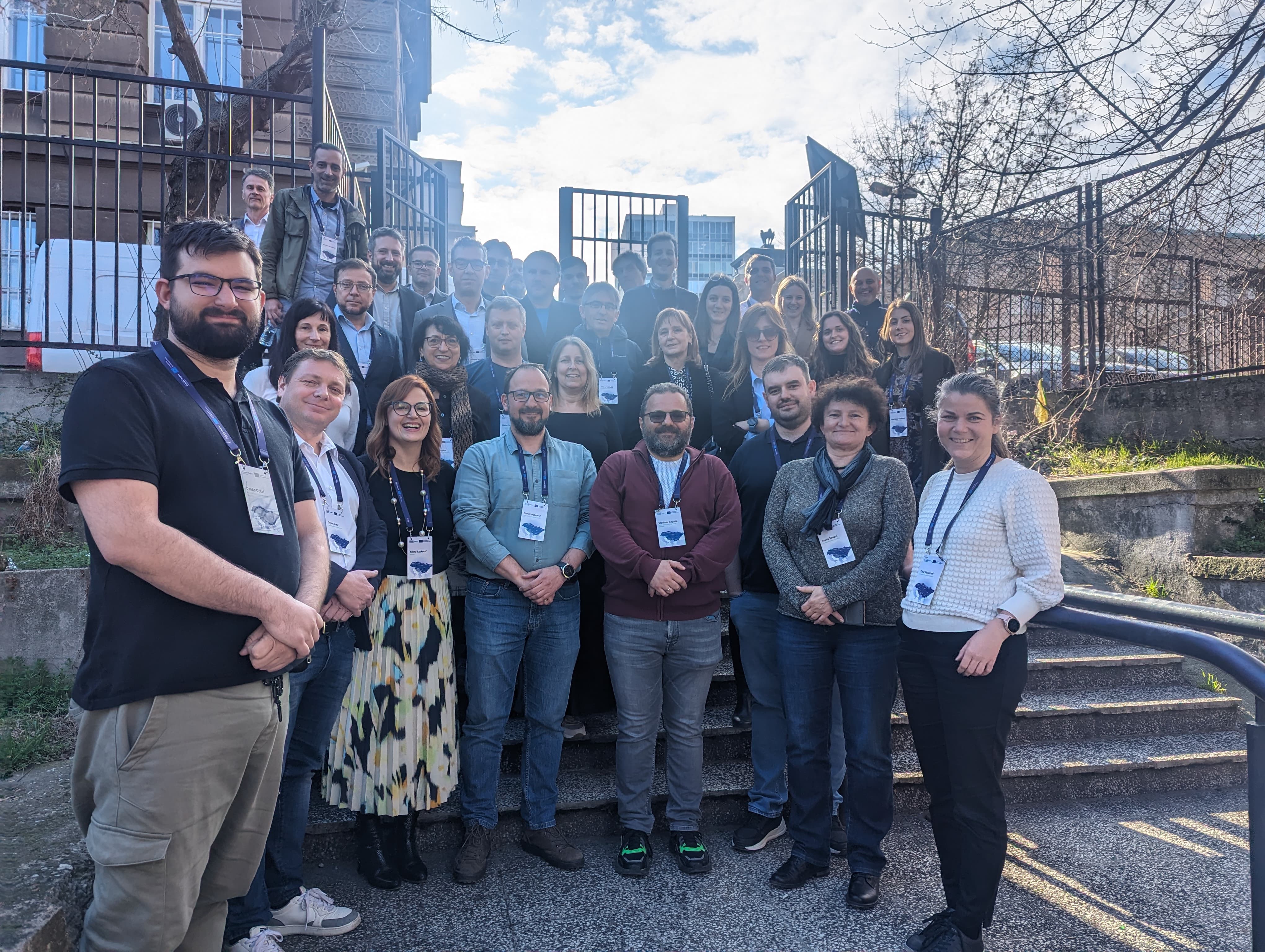
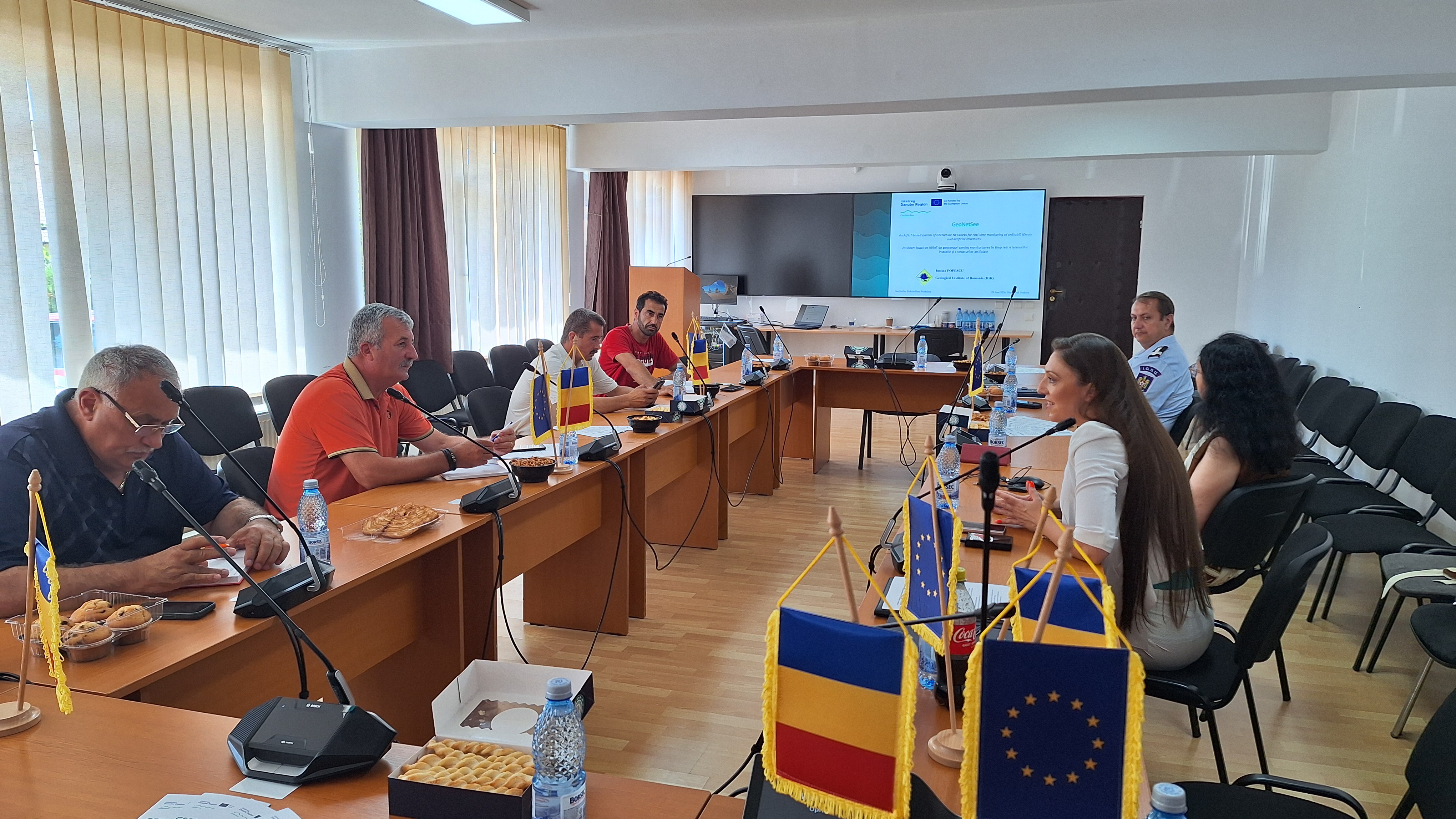
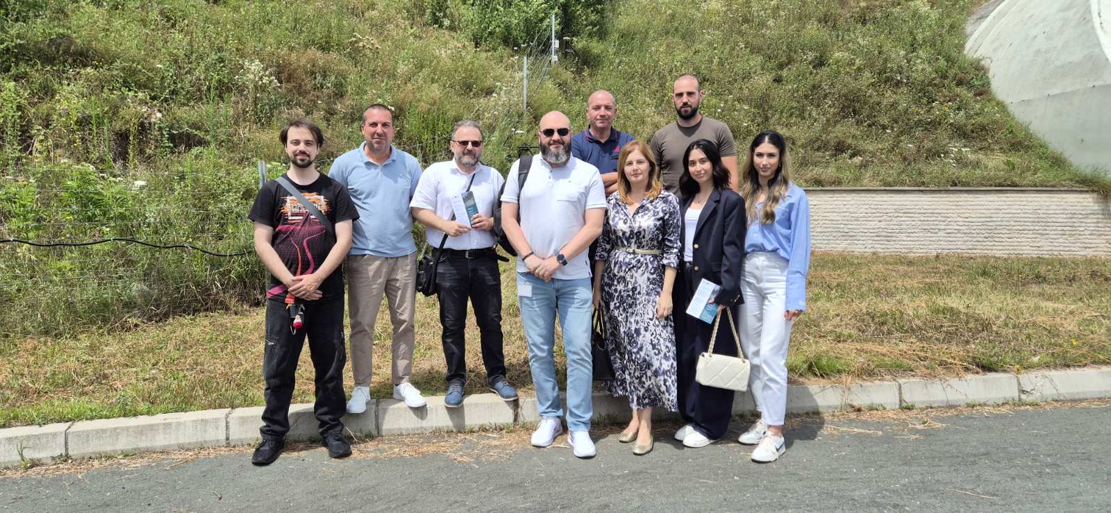
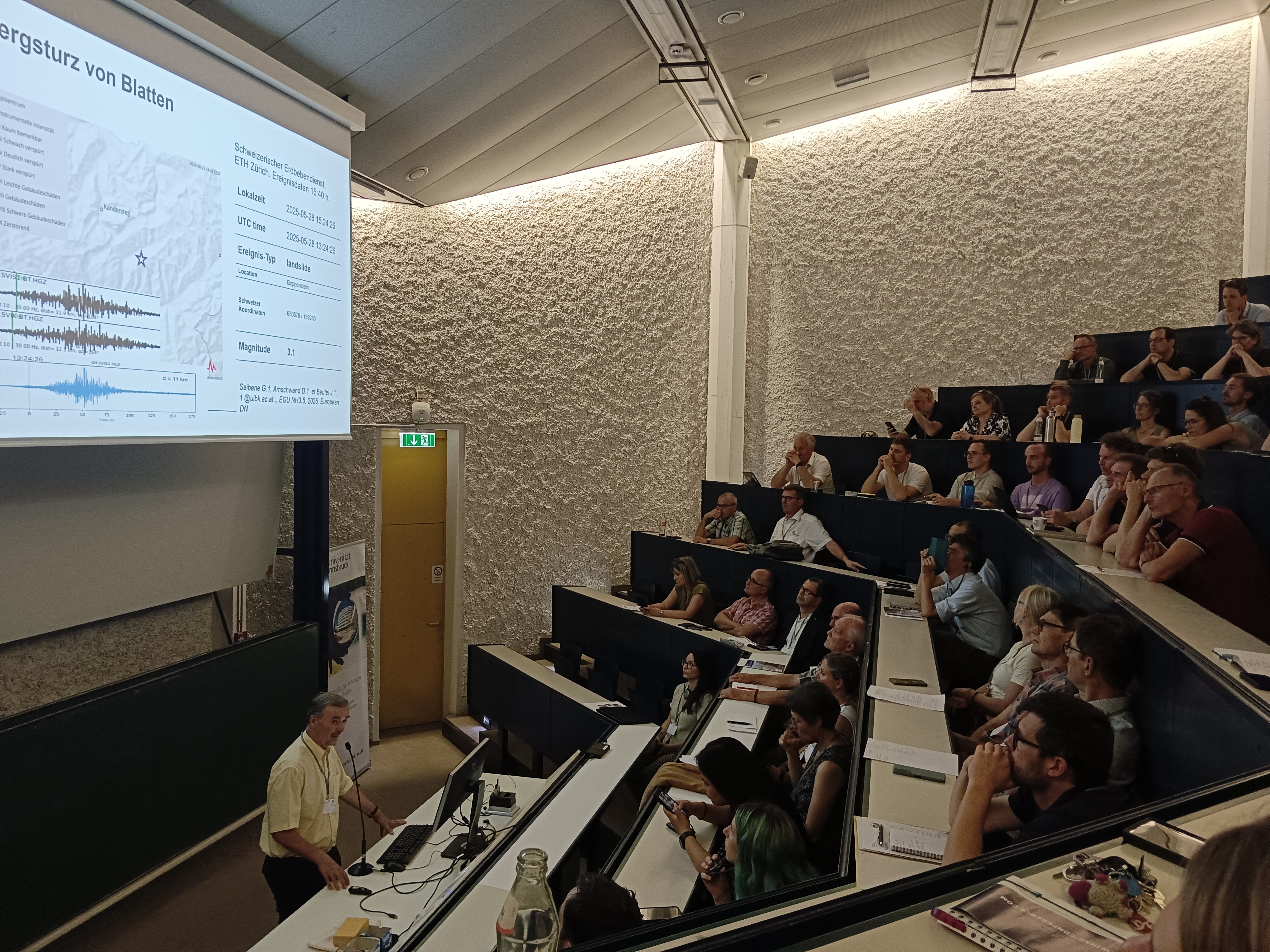
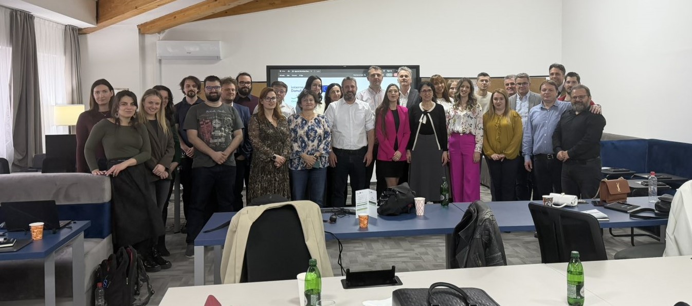
News & Events
Read the most recent updates and explore the upcoming events.


Project overview
Start date:
01 January 2024
Status: ongoing
End date:
30 June 2026
€ 1 791 280
budget
80.00 % funded by
Interreg Funds
9
countries
14
partners
Find the project on social media


Need any help? Contact us!
Vladimir Rajović
Lead Project Manager

Tatjana Budimirov
Project Communication Manager

Zoran Sušić
SFTN Project Manager

Vladimir Bulatović
Geosolutions Project Manager

Iustina Boaja
Geological Institute of Romania Project Manager

Dejan Jokić
International Burch University Project Manager

Csaba Sandor
SURVIOT Monitoring Project Manager
Szabolcs Rozsa
Budapest University of Technology and Economics Project Manager

Kruna Ratković
MoDrone Project Manager
Zdeněk Slanina
Faculty of electrical engineering and computer science Project Manager

Ela Šegina
Geological Survey of Slovenia Project Manager

Laszlo Podolszki
Geological Survey of Croatia Project Manager
Jelena Pejović
Faculty of Civil Engineering Project Manager
Daniel Elias
Nast consulting Project Manager
Emir Hodžić
Geological Survey of Federation of B&H Project Manager

Would you like to receive project updates?
You're already part of our community!
Welcome to our newsletter community!
Subscribe to our newsletter