
LAREDAR
Lakes and Reservoirs in the Danube River Basin
“Towards coordinated actions of lakes and
reservoirs management to reduce flood risks in the
Danube River Basin”
Our main goal
The main aim of the project is to focus on the roles of lakes and reservoirs, to observe their relevance in flood risk control and reduction and to create a useful tool that serves the targets of flood risk mitigation.
LAREDAR is expected to provide new insights into the relationship between reservoirs and floods along transboundary river sections, based on investigations in the pilot regions. The aim is not only to investigate the existing impacts of reservoirs holistically and at the catchment level, but also to suggest additional good practices that will improve flood risk management.
Project description
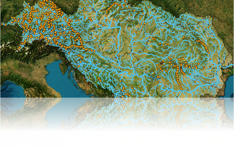
LAREDAR (Lakes and Reservoirs in the Danube River Basin) addresses a key challenge in the Danube Region: the insufficient coordination of lakes and reservoirs in flood risk management across national borders.
Flood events in the Danube Basin are inherently transnational, while reservoir operation, data systems, and management approaches remain largely fragmented. This limits the effectiveness of flood mitigation measures and reduces the ability to respond to extreme hydrological events in a coordinated way.
LAREDAR aims to improve this situation by strengthening knowledge, tools, and cooperation mechanisms for the coordinated management of lakes and reservoirs. The project combines data collection, modelling, and pilot analyses to better understand the role of reservoirs in flood risk reduction and to support joint decision-making.
A central element of the project is the development of a GIS-based platform, integrating data on lakes and reservoirs across the Danube River Basin and enabling scenario analysis and modelling.
In parallel, LAREDAR develops a transnational manual and harmonisation platform, providing operational guidance, good practices, and recommendations for coordinated reservoir management. These outputs are supported by stakeholder engagement, expert workshops, and pilot testing activities.
Finally, the project delivers strategic guidance and a capitalisation plan to ensure long-term uptake of results and their integration into national policies and Danube-wide frameworks.
By combining technical innovation, transnational cooperation, and policy alignment, LAREDAR contributes to more effective and climate-resilient flood risk management in the Danube Region.
Expected results
- LAREDAR GIS Tool and database
Web-based platform integrating data on lakes and reservoirs, supporting modelling and decision-making - Catalogue of lakes and reservoirs
Structured inventory with technical, hydrological, and environmental data across the Danube Basin - Transnational Manual and Harmonisation Platform
Operational guidance and recommendations for coordinated reservoir management - Scenario analyses and pilot results
Assessment of transboundary flood impacts and testing of joint approaches - Strategic Guidance and Capitalisation Plan
Supporting policy uptake, sustainability, and long-term impact

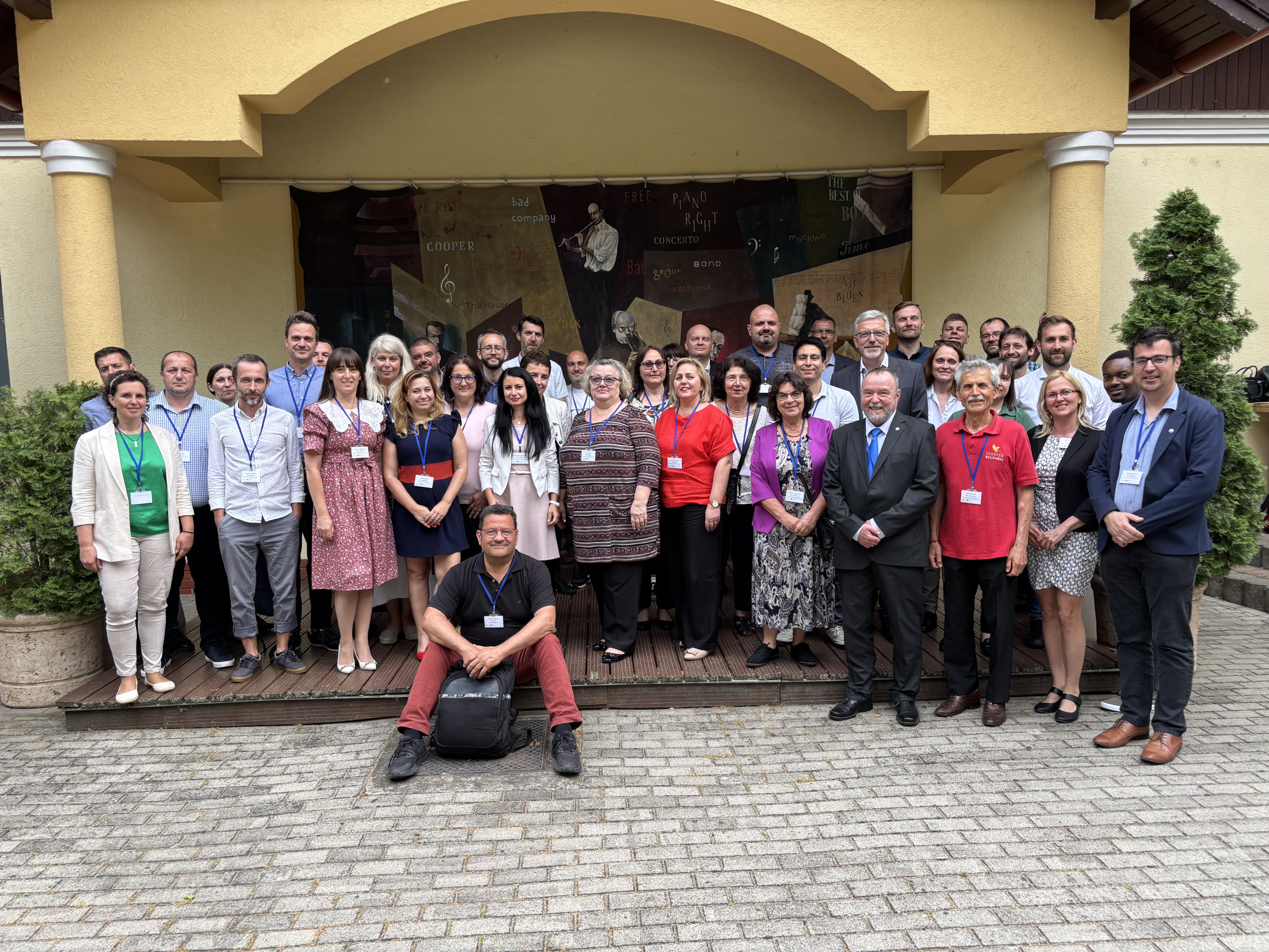
News & Events
Read the most recent updates and explore the upcoming events.

Project overview
Start date:
01 April 2025
Status: ongoing
End date:
30 September 2027
€ 2 158 989
budget
80.00 % funded by
Interreg Funds
9
countries
12
partners
Find the project on social media


Need any help? Contact us!

Middle Tisza District Water Directorate - Tisza Office
Project management

Global Water Partnership Central and Estern Europe - GWP CEE
Communication management

Would you like to receive project updates?
You're already part of our community!
Welcome to our newsletter community!
Subscribe to our newsletter