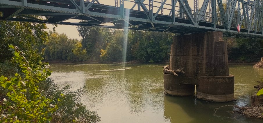
Sampling campaign in Hungary
Monitoring sites and sampling campaigns performed in Hungary by the Budapest University of Technology and Economics (BME)
The driving objective of the monitoring campaign within the Tethys project is to fill the most critical gaps for the application of the MoRE model. Considering the limited availability of samples, priority shall be given to 1) increase the number of data points in main rivers and tributaries for model validation and 2) increase the data availability regarding specific emission pathways (e.g. point sources, rural runoff).
In line with the with the aims, BME takes samples at three types of sites between September 2024 and June 2025 for different purposes:
- River (watercourse) sites
· medium and large rivers, to characterize pollution at the catchment scale, with the aim of validating the national and transnational emission models);
· “hot spot” watercourse (to reveal the presence of local, airport-specific pollution).
- Stormwater sewer and combined sewer overflows, to characterize urban runoff concentrations.
- Effluent of municipal wastewater treatment plant - a backup site type if the combined sewer sampling fails.
Description of the river monitoring sites
Sample | Name of the | Location | Coordinate | Number of samples | ||
site ID | river |
| Long | Lat | lowflow | highflow |
RIV-HUMA | River Maros | Makó | 20.453300 | 46.202780 | 3 | 1 |
RIV-HULB | Lónyay main-canal | Buj | 21.639900 | 48.092670 | 3 | 1 |
RIV-HUZA | River Zala | Zalaapáti | 17.121590 | 46.727520 | 3 | 1 |
RIV-HUDA | Darza creek | Pápa | 17.478872 | 47.357544 | 3 | 0 |

1. River monitoring sites in Hungary
Maros, Makó
River Maros, which is the fourth largest river in Hungary, is a tributary of the Tisza River. The Maros (Mureș) originates in Transylvania; its catchment area is 30 149 km2, most of which is in Romania. Its length is 725 km, of which only 48 km fall on the territory of Hungary.
The monitoring station represents a river of transnational importance.
The sampling site is located near the Romanian-Hungarian border, 24 km upstream of the confluence with the Tisa River, near the city of Makó, next to the bridge of the 43rd highway.
Site location and coordinates: Maros – Makó – Kemping: GPS 46.202679, 20.455539
https://maps.app.goo.gl/LxqcbvuUF7KbYPvCA
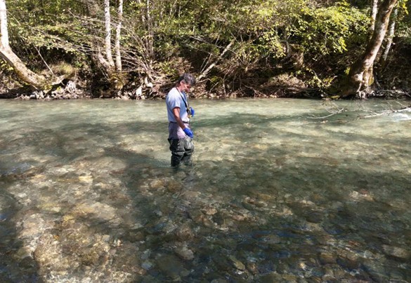
On the site sampling is performed from a boat by collecting grab sample from the main streamline of the river. Discharge is measured in the same site in Maros - Makó river gauge station. The mean annual flow is 170 m3/s.

2. Monitoring site location: River Maros, Makó (RIV-HUMA)


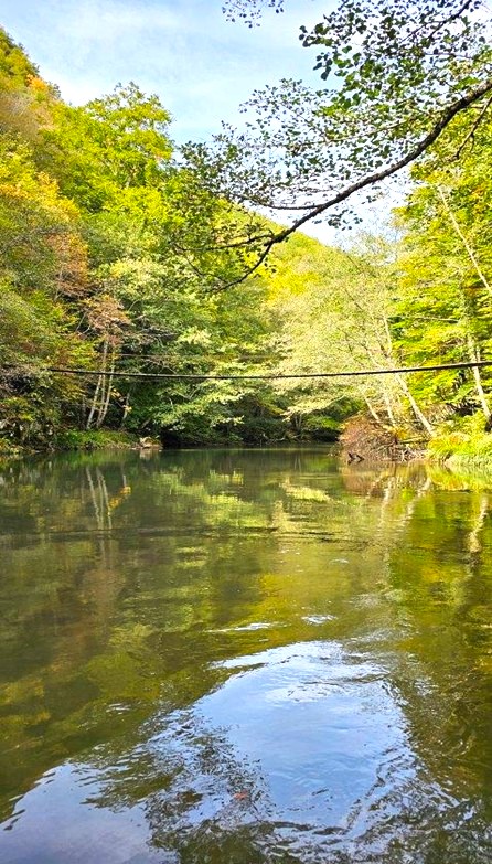
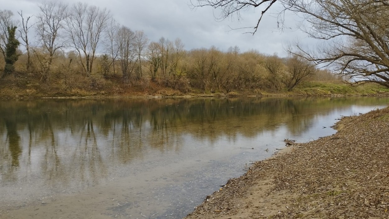
3. River Maros monitoring site photos
Lónyai Main-Canal, Buj
An artificial canal was built in the second half of the 19th century to drain the sandy area of Nyírség, Located in the northeastern part of the Hungarian Great Plain. The length of the Lónyai main canal is 91 km and it collects the water of 7 smaller canals and flows into the Tisza. The total catchment area is 2040 km2, dominated by agricultural areas (arable lands), but municipal wastewater emission (Nyíregyháza WWTP, ~ 270 000 PE) is significant, too. The annual mean outflow in the catchment outlet is 1.30 m3/s.
The monitoring station represents a medium-sized river of national importance, which is strongly exposed to anthropogenic impacts and characterized by low runoff which is typical in the flatland areas of Hungary.
Site location and coordinates:
Lónyai csatorna, Buj road bridge, GPS: 48.092662, 21.639977
https://maps.app.goo.gl/sUxRzNRKMA2gBxRg9


4. Monitoring site location: Lónyai Main-canal, Buj (RIV-HULB)
At this location, sampling is performed from the bank and the bridge using a telescopic vessel. Due to the vegetation cover, taking the sample near the bridge is recommended.


5. Lónyai Main-canal monitoring site photos
River Zala, Zalaapáti
River Zala is a large watercourse of national importance, located within the country's borders from its source to its mouth. Its catchment belongs to the watershed of Lake Balaton (the largest shallow lake in Eastern Europe). River Zala originates in the Őrség region of Vas County near the western border. The watercourse touches the city of Zalaegerszeg, turns south in the Zalabér region, and flows into Lake Balaton through the Kis-Balaton Water Protection System (KBWPS). Its total length is 126 km. As the main feeder of Lake Balaton, it contributes to 45% of its total watershed and supplies almost 50% of its total water input.
The entire catchment area lies in the Zala hills. The catchment area upstream to the Kis-Balaton is 1514 km2, and its land use is dominated by agricultural and forest areas (around 57% and 37%), the soils of the watershed are highly erodible. The largest town in the catchment is Zalaegerszeg (around 92 000 PE).

6. Location of the Zala River catchment and Zalaapáti sampling site representing the waters of the River Zala where it reaches the KBWPS
The monitoring site is placed in the river gauge of Zala - Zalaapáti. The station is located at 28.2 km section of the river, upstream the Kis-Balaton Water Protection System. The annual mean discharge is 4.5 m3/s.
The monitoring station represents a medium-sized river of national importance, which is characterised by mixed land use and moderate anthropogenic (urban and agricultural) impacts.
Site location and coordinates:
River Zala – Zalaapáti gauge, GPS: 46.727365, 17.121597
https://maps.app.goo.gl/VqKqDc3HRYdbt7Bd6
At this location, sampling is performed from the bridge using a telescopic vessel.


7. Monitoring site location: River Zala at Zalaapáti (RIV-HUZA)

8. River Zala monitoring site photo
Darza-creek, Pápa (Military Aerodrome)
The stream and the small ditch that flows into it come from the Pápa military airport and drain the surface and subsurface runoff from the airport.
The sampling site was designated for measuring hotspot pollution to indicate the presence of PFOS/PFOA compounds.
Site location and coordinates:
Darza-creek / aerodome dich, Pápa Military Aerodome: GPS 47.3631, 17.4588
https://maps.app.goo.gl/xd2KDimTQRcQt1Wq5

9. Monitoring site location: Darza-creek, Pápa Military Aerodrome (RIV-HUPA)
Monitoring of storm sewers and combined sewer overflows (CSOs)
Among the emission pathways, only very few measurement data are available for stormwater runoff from urban areas. BME initiated the stormwater sewer and combined sewer overflow CSO sampling program to fill this data gap. This pathway should be sampled at the time of the storm event and the sampling should follow the dynamics of the runoff (time or yield proportional sample).
Three monitoring stations were installed, each of them is located in Budapest.
Ipacsfa storm sewer monitoring station
Site location and coordinates:
Budapest, Ipacsfa street - Közdűlő street corner, storm sewer manhole of the Budapest Sewer Works. GPS: 47°25'34.3"N 19°10'25.6"E

10. Monitoring site location: Ipacsfa stormwater sewer (SW-HUIP)
In the catchment of the sampling point, the rainwater flows from the road network primarily through gullies into the separated stormwater channel network. The sampling site is therefore essentially represented by the road surface runoff.
The sampling took place in the separated system precipitation channel. The channel section size is 220 cm circular section.
The watershed area of the sampling point extends to the 4th road (the road leading to Ferihegy Airport) in the north (in the figure, the surface relief is marked with color, the section size of the channels is marked with thickness): Size of the watershed area (surface of roads): 856391 m2 = 0.86km2 = 86 ha.


11. Overview of the to the drainage area within Budapest, and the stormwater sewers belonging the to the sampling point
The own developed automatic water sampler “water collector” was installed on the site. This device is capable to collect flow proportional continuous composite sample from a separated runoff event. The sampling is controlled by a programmable controller which is connected to a water level sensor. Sampling is carried out by changes in the water level, which is recorded continuously. The water level is measured by a pressure gauge at the channel's bottom. Sampling starts when a threshold water level is reached, and the pumping speed (RPM of a peristaltic pump) of is proportional to the change of the water level (flow trigged sampling). In order to set up the LUT function in the controller, first, the flow-water level relationship (Q - H curve) must be developed. The water sample which is collected in a large container (V = 30 l) represents the event mean concentration of the contaminants.
The main advantage of the system is the low energy consumption as the device operates without an AC power supply (with batteries).

12. Water sampler in storm sewer manhole for flow proportional composite sample collection
Ferencváros and Angyalföld pumping sations – sampling of CSOs
Sampling is carried out in two pumping stations of the Budapest combined sewer system. During rain events, if the discharge exceeds three timed dilution, the CSOs start to operate. Under normal operating condition the excess water is discharged to the Danube by gravity flow. We can take a sample from the outflow drain when it operates in gravity mode.
The storm drain pipe was so deep (8m) that the self-developed water collector sampler could have lift the sample, therefore time proportional sampling is applied by the autosampler of the operator. The time step of the sampling is 1 hour in both sampling site.

13. Location (signed by red stars) and the drainage area (combined sewer network) of the CSO monitoring stations. Upper map: Angyalföld Pump Station (A = 87.35km2), lower map: Ferencváros Pump Station (A = 56.93 km2)
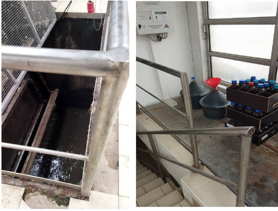
14. Budapest - CSO sampling sites photos
Sampling campaign to measure the extreme flood event in the Danube
There was a high flood event in the Upper Danube in September. The peak flow arrived at Budapest on 21. September. A high-flow sample was organized during the flood event, as this extreme flood event is a good chance to see what comes down in the river in a real high-water situation.
The sampling was performed from a ship in Göd, upstream to Budapest, at the time of the peak flow (8 500 m3/s).


15. Danube flood in September 2024

16. High flow event sampling, Göd, 20.09.2024.
News & Events
Read the most recent updates and explore the upcoming events.

