
24.09.2026. InnoWATCCH project stakeholder forum held in Hungary
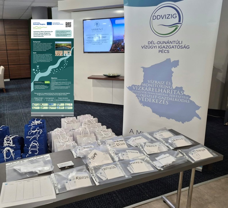
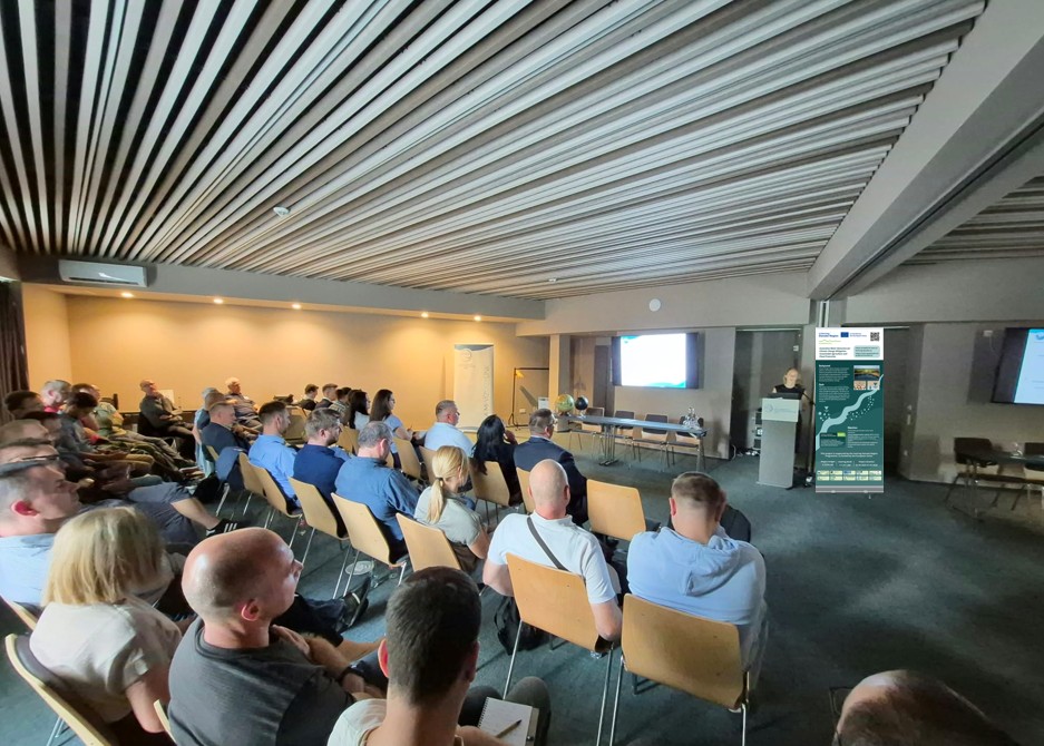
24.09.2026. InnoWATCCH project stakeholder forum held in Hungary in the frame of National Conference on Water Management IT, Spatial Data, and GIS
OVF started the conversation with a presentation titled “The use of geographic information systems in the implementation of the InnoWATCCH international project in our two pilot sites (Ikrény-Rajka, Lake Riha)” with an introduction and overview of InnoWATCCH project, highlighting its goals. We also gave a summary of what we have already achieved in the past periods, including deliverables on data collection and pilot site delineation.
The project heavily relies on Geographic Information System (GIS) software that enables the manipulation, analysis, and visualization of spatial data, making it an ideal tool for representing the geographical and environmental characteristics of our pilot sites (Ikrény-Rajka pilot site and Riha Lake pilot site).
Using GIS, the collected data are spatially referenced and layered onto a base map of the pilot site. This allows for the visualization of various features such as geological formations, soil types, hydro(geo) logical features, infrastructure, and other relevant elements that influence the project objectives.
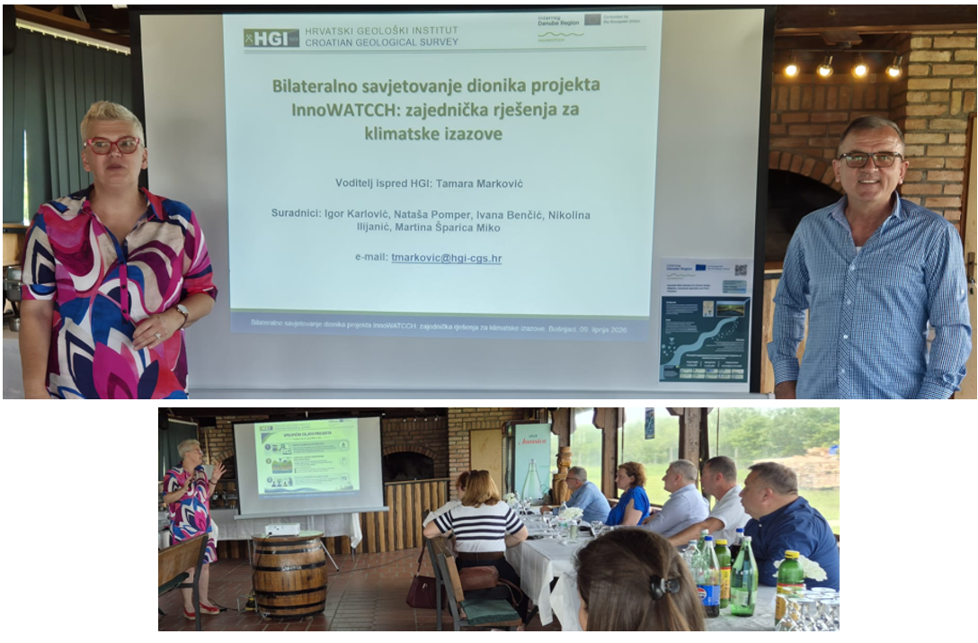
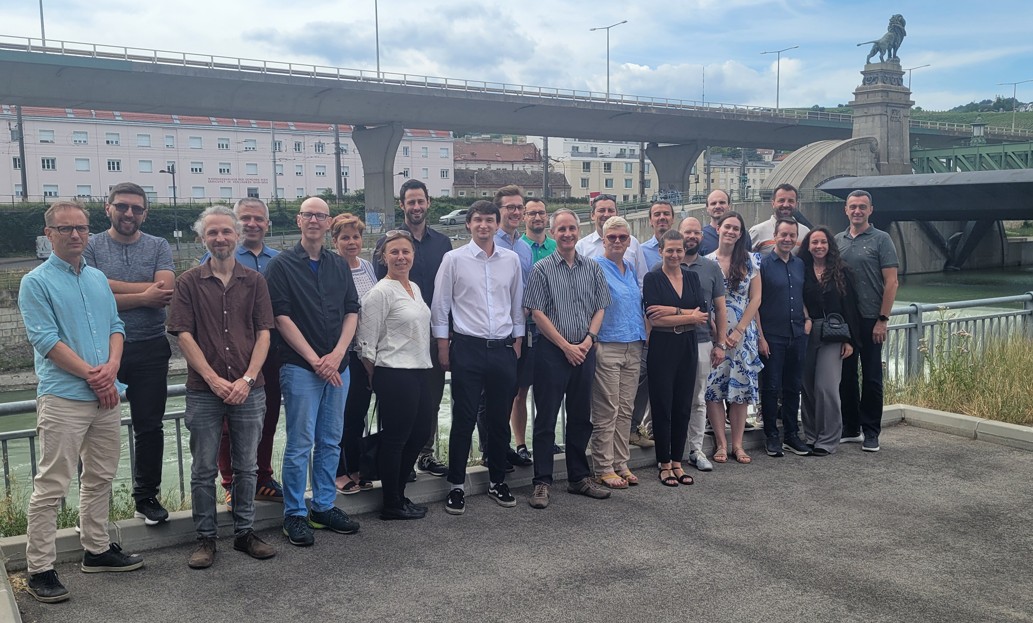
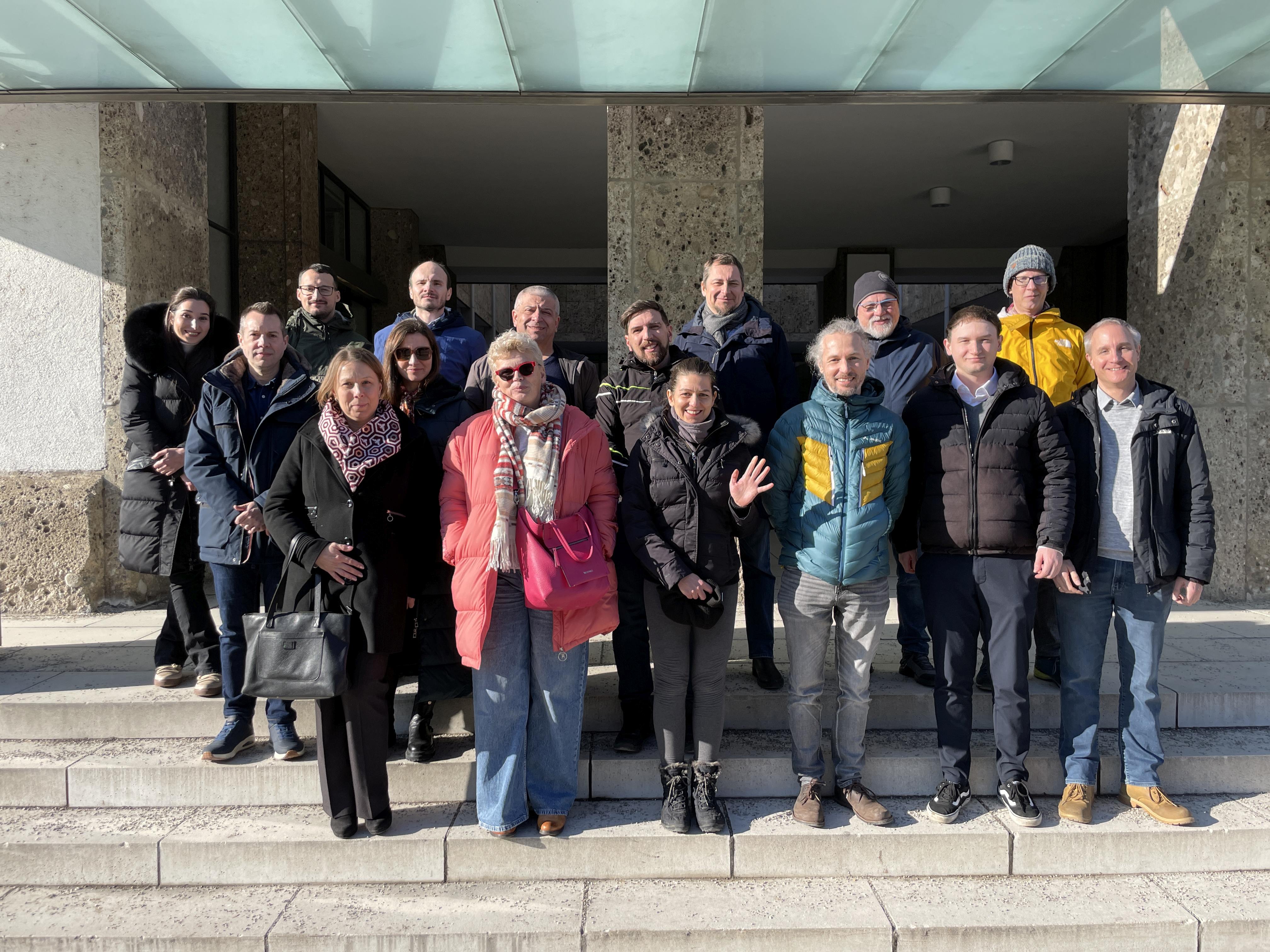
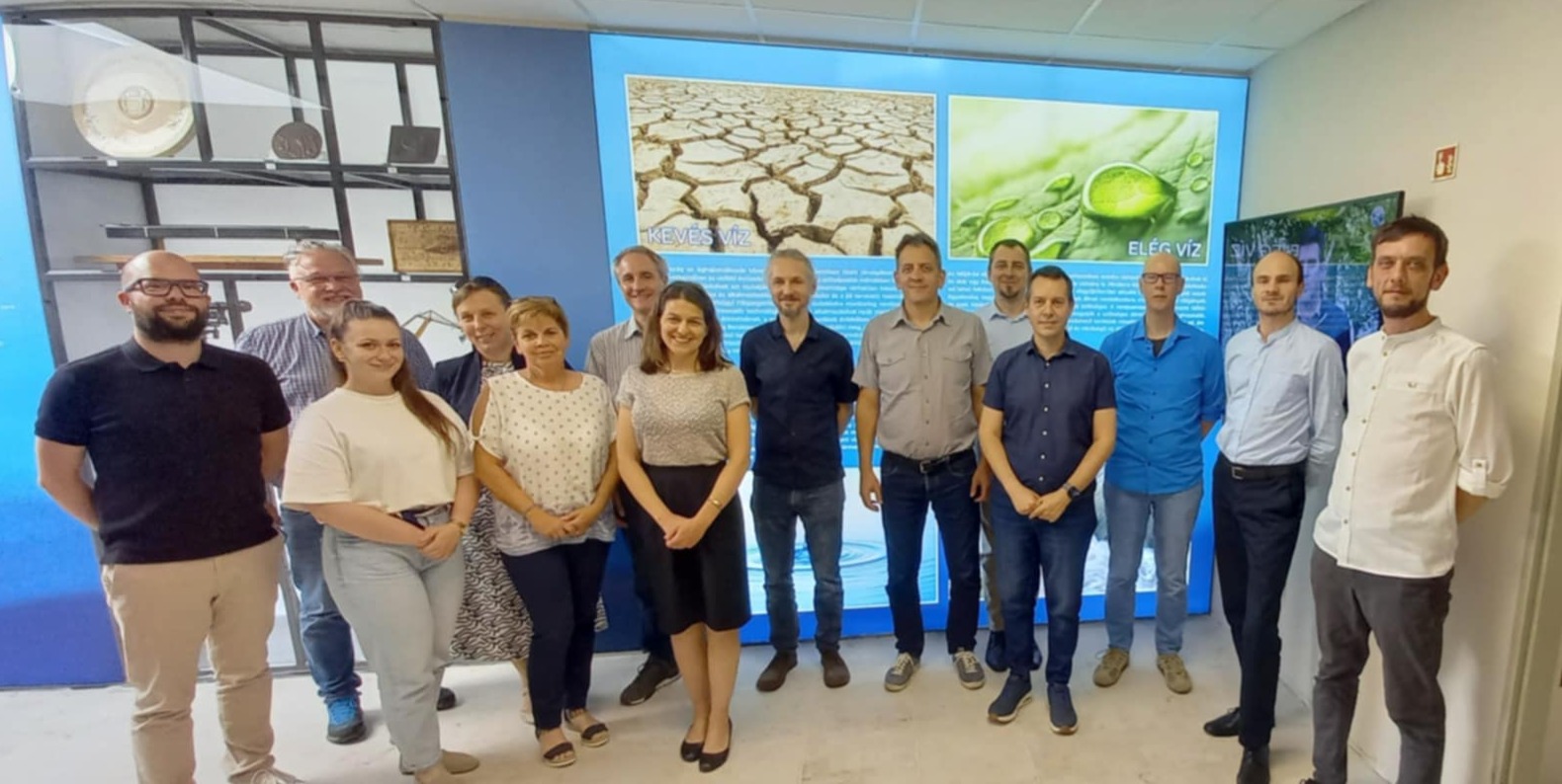
Among the audience there were representatives present from each regional water directorates, a public service provider, a research organisation, and a few small and medium enterprises.
Through active stakeholder involvement and collaboration, the project fosters a participatory approach to decision-making, driving consensus and facilitating the adoption of innovative solutions.

05/10/2026
By Olivia Barta
Share on social media:



News & Events
Read the most recent updates and explore the upcoming events.


Would you like to receive project updates?
You're already part of our community!
Welcome to our newsletter community!
Subscribe to our newsletter