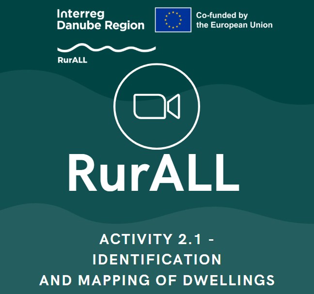

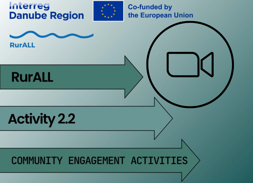
📽️ Video 📽️ - Interreg RurALL - Activity 2.1 - Identification and mapping of deteriorating dwellings
Video - Activity 2.1 - Identification and mapping of deteriorating dwellings
Interreg RurALL - Activity 2.1 - Identification and mapping of deteriorating dwellings
RurALL - Activity 2.1 - Identification and mapping of deteriorating dwellings
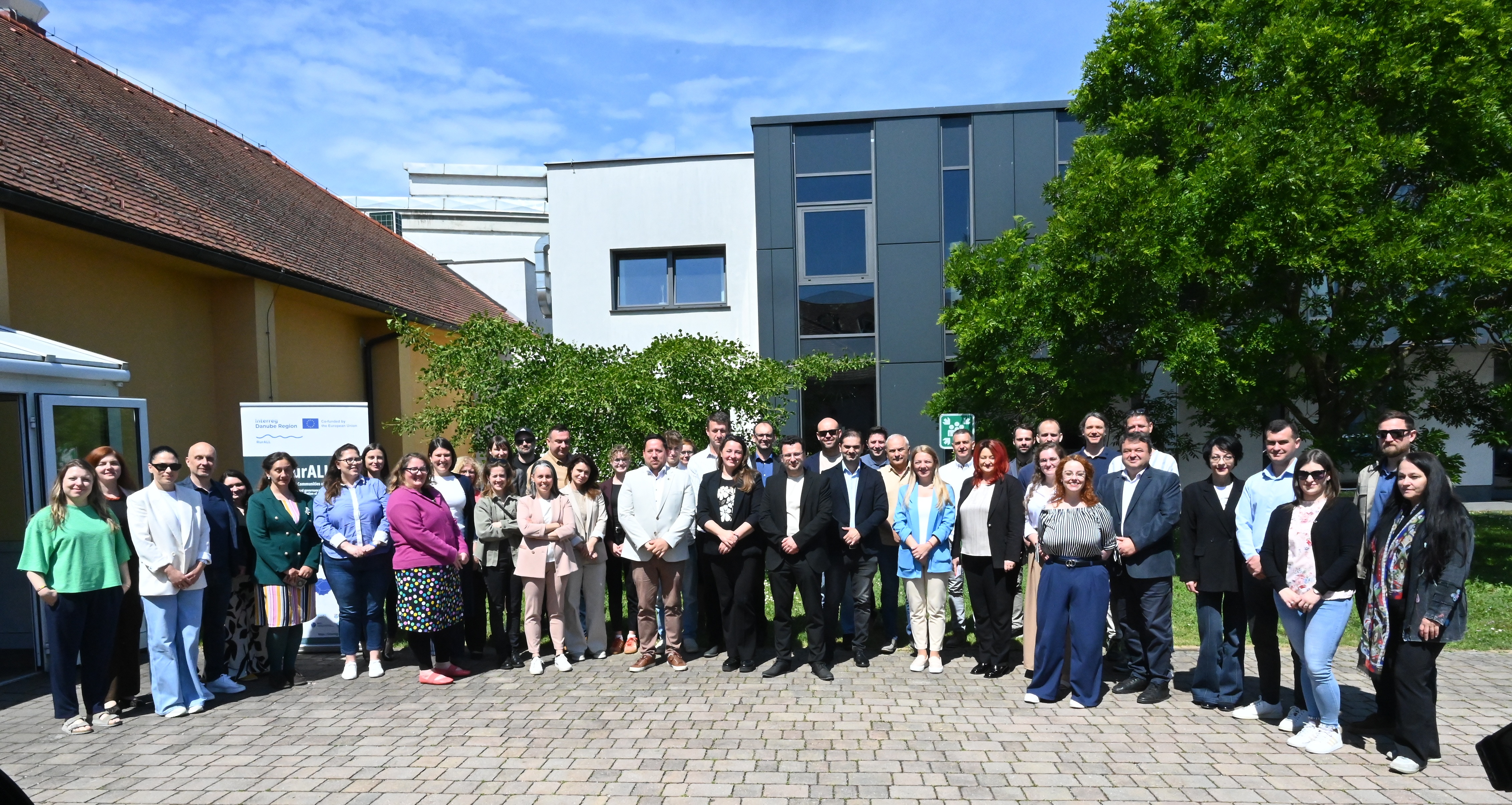
🔍 One of the main activities during the second phase of our project was mapping old and deteriorating dwellings.
🏚️ This work was carried out in 11 piloting areas and followed a carefully prepared Mapping Implementation Plan.
📽️ As part of our communication plan, we’ve created a short video to show how this important work was done.
Now that we have a solid base of information, we can move forward with the next steps of our mission:
➡️ exploring new purposes for these buildings, and
➡️ working together with the community to develop both basic and detailed renovation plans.
Check out the video to see how the mapping was done!
🔊 🔊 🔊 🔊
Video - RurALL - Activity 2.1 - Identification and mapping of deteriorating dwellings
https://www.linkedin.com/posts/interreg-rurall_interregrurall-interregdanube-depopulation-activity-7317799669361774592-0M83?utm_source=share&utm_medium=member_desktop&rcm=ACoAAENbmagBXOPs-idFsWgCqsR4gFsCb2-Gif4
RurALL - LinkedIN

15/04/2025
By Kristina Koter
Share on social media:


News & Events
Read the most recent updates and explore the upcoming events.


Would you like to receive project updates?
You're already part of our community!
Welcome to our newsletter community!
Subscribe to our newsletter