
Mapping Nature, Connecting Data: CLIMANATRES Across Northern Bulgaria
Mapping Nature, Connecting Data: CLIMANATRES Across Northern Bulgaria
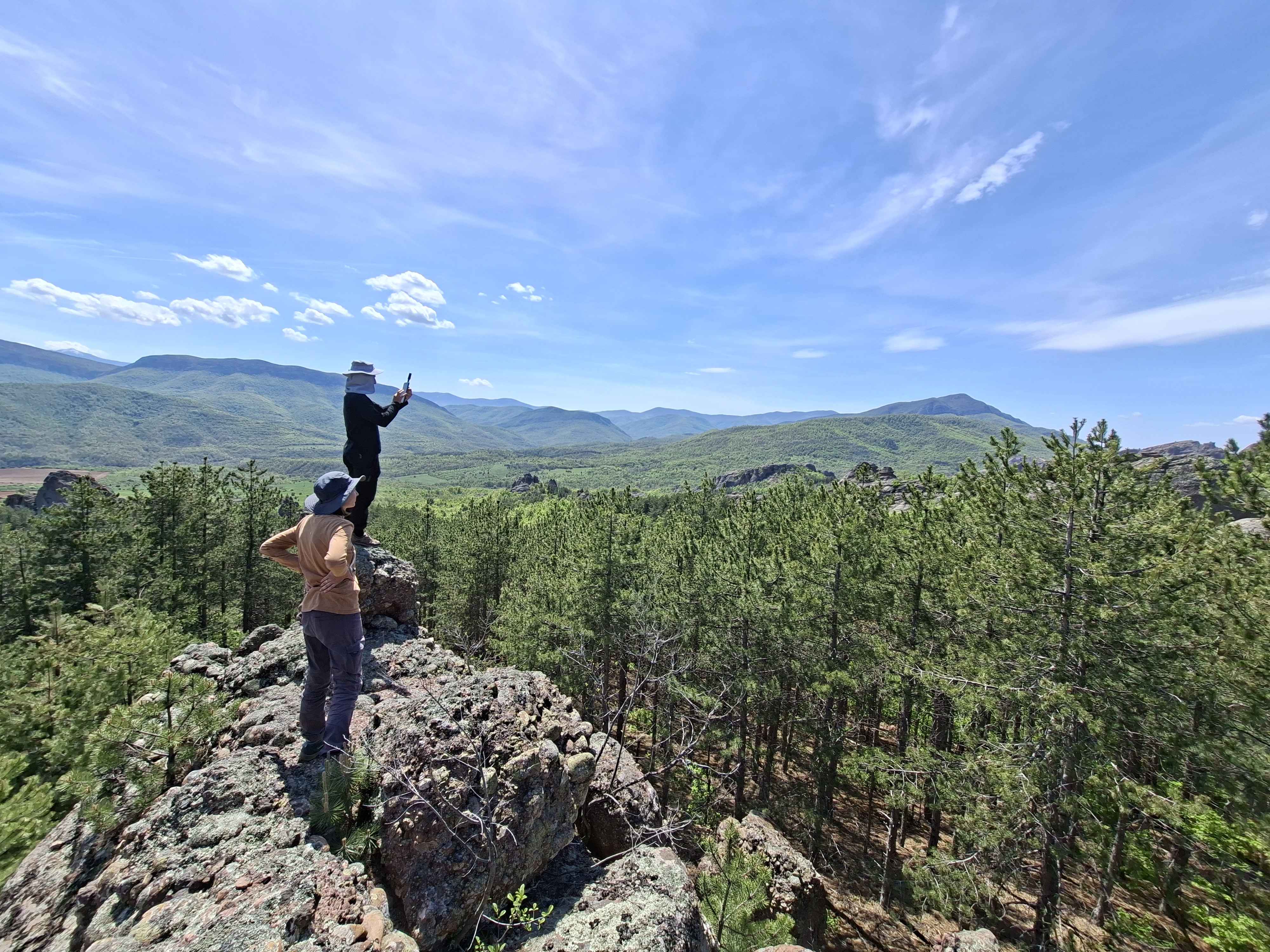
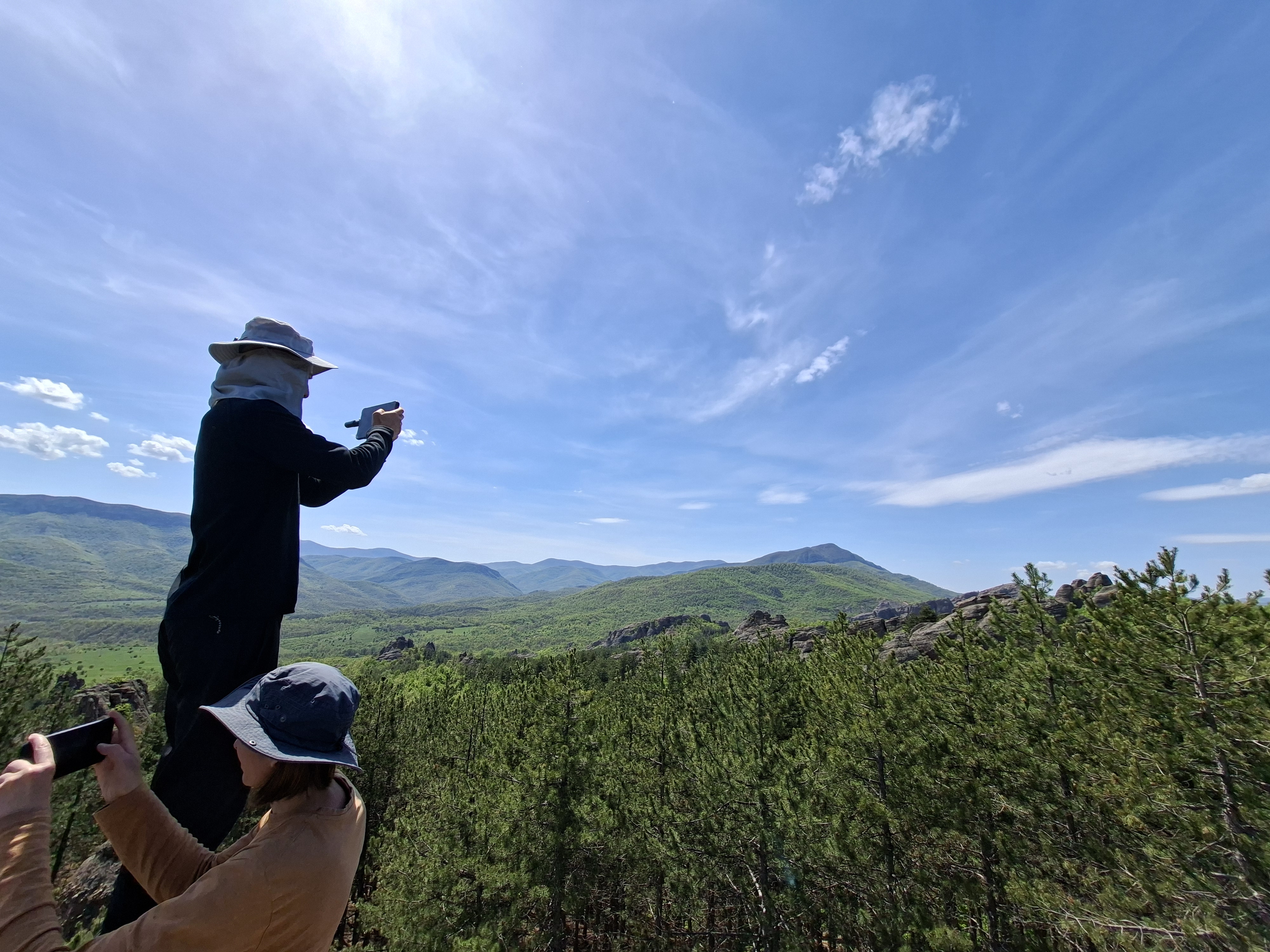
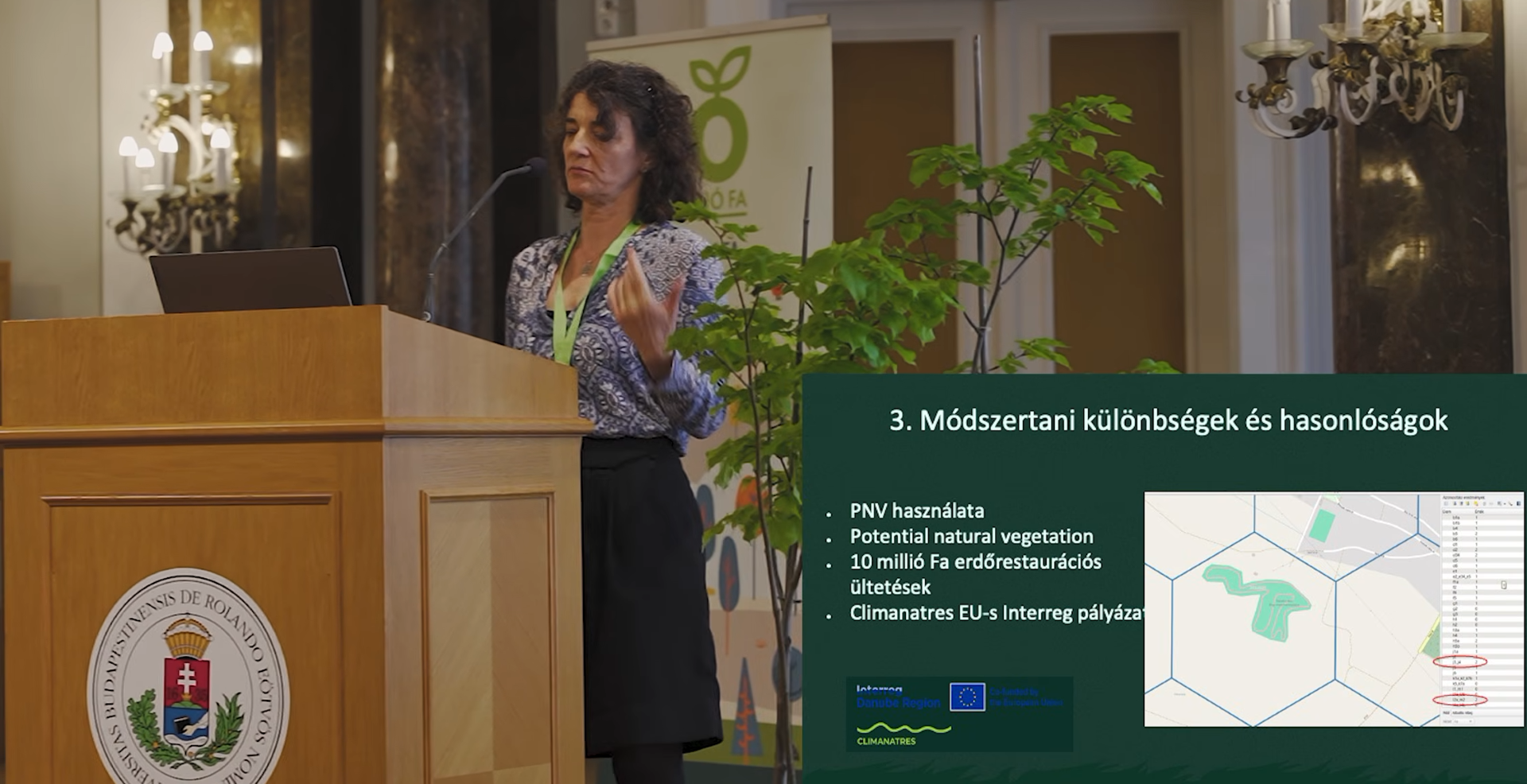
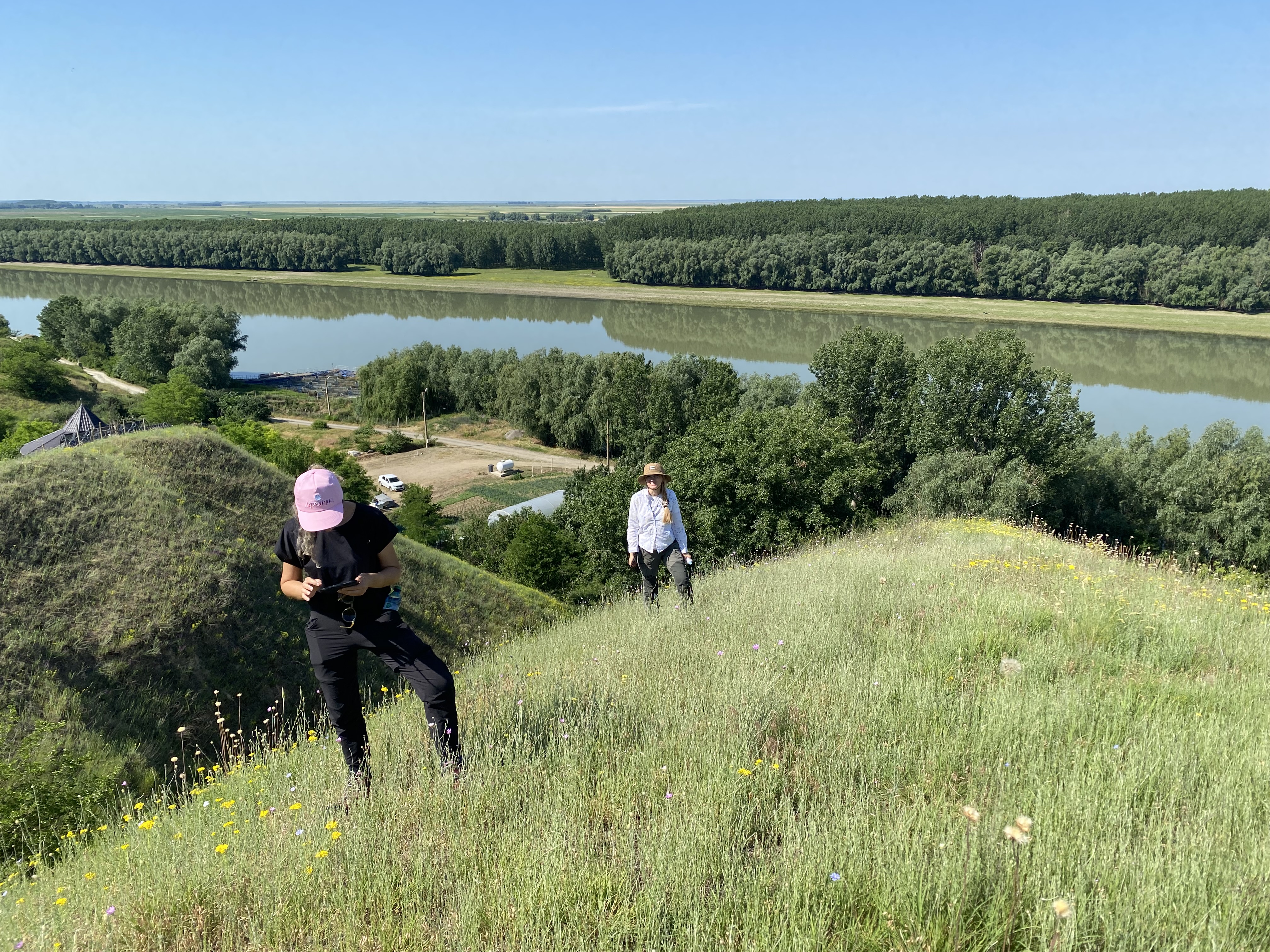
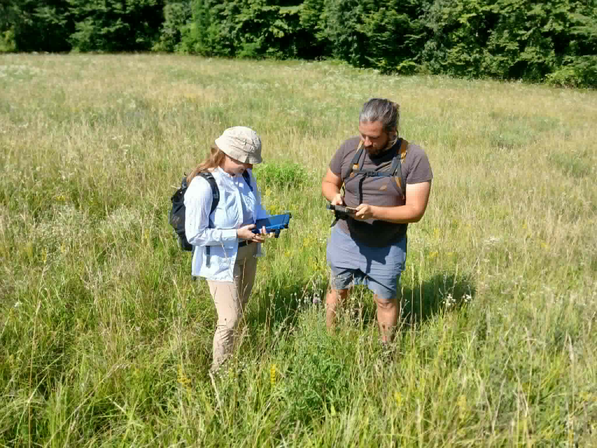
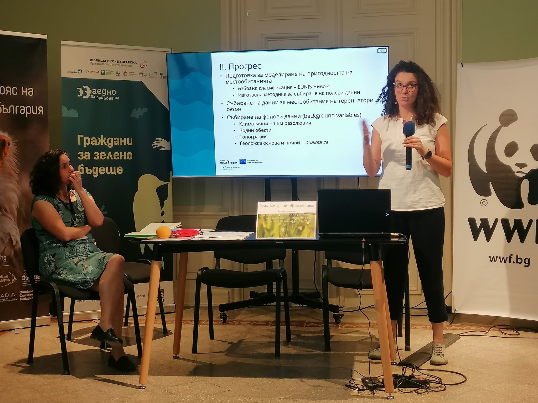
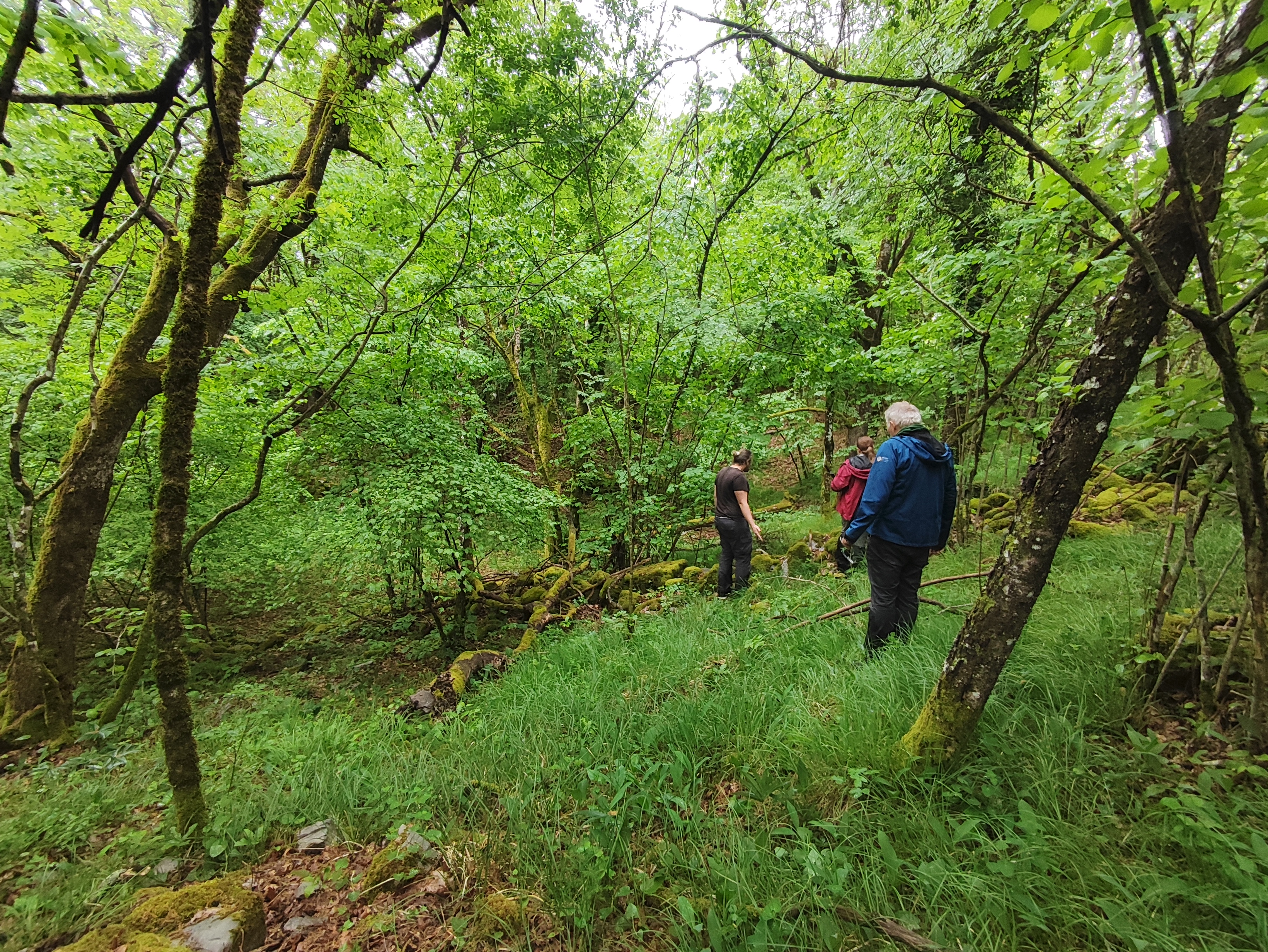
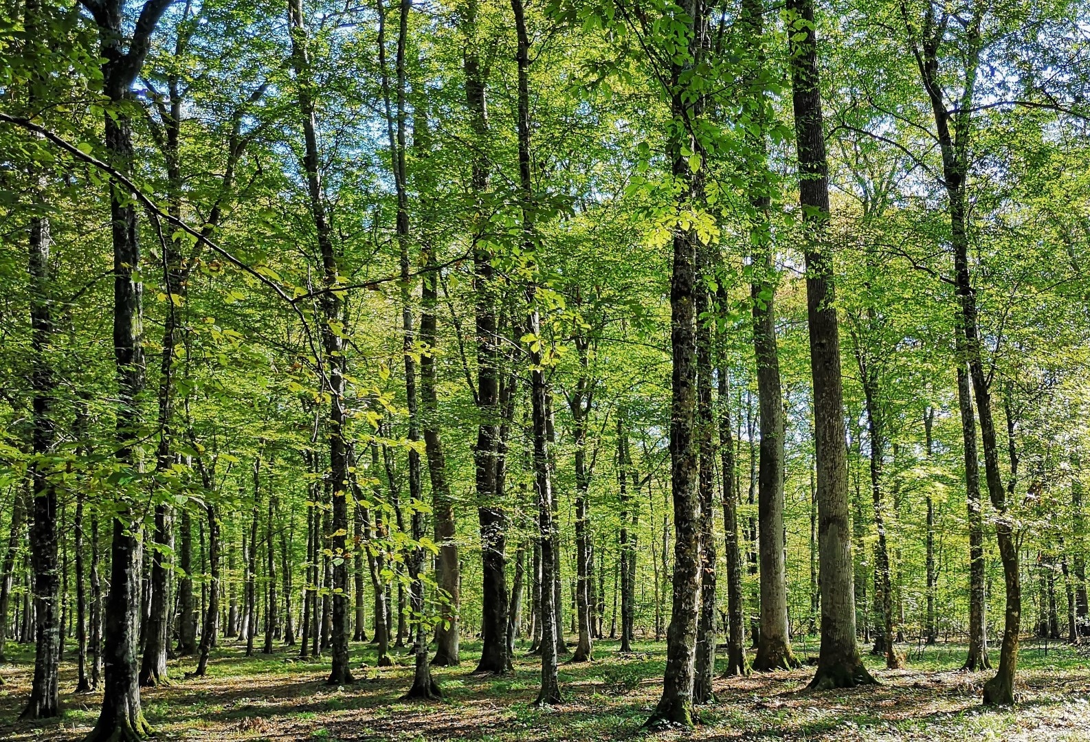
During third project period, within activity related to Ensuring data collection, the National Museum of Natural History at the Bulgarian Academy of Sciences team completed 35 person-days of habitat mapping across northern Bulgaria, from April to August 2026. We mapped approximately 25,000 hectares in 727 polygons. Of these, 348 polygons covering about 15,066 hectares were classified as habitats within the project’s scope. We also checked the field data and photographs and began processing the mapped habitat mosaics for integration into the shared GIS database. During this period, we also contributed to stakeholder communication. On 17 June we presented CLIMANATRES at Bulgaria’s national conference on the Nature Restoration Plan, highlighting how regional vegetation data and climate-informed approaches can support restoration planning.

27/09/2026
By Nikola Banjac
Share on social media:


Green

News & Events
Read the most recent updates and explore the upcoming events.


Would you like to receive project updates?
You're already part of our community!
Welcome to our newsletter community!
Subscribe to our newsletter