
EYWA: Using Earth Observation to Predict Mosquito-Borne Disease Risks
🦟🛰️ Can satellite data help us stay ahead of mosquito-borne diseases?
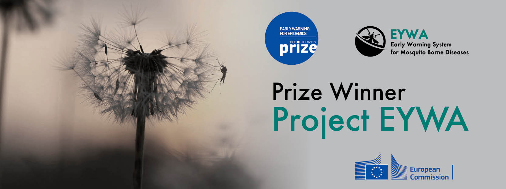
The EYWA – Early Warning System for Mosquito-Borne Diseases, developed by the BEYOND Centre of Earth Observation Research and Satellite Remote Sensing, combines Earth Observation data, environmental and meteorological information, and advanced modelling to support the prediction of mosquito abundance and mosquito-borne disease risks.
Among the diseases addressed by the system is West Nile virus (WNV), an important vector-borne disease affecting both humans and animals, including wild birds.
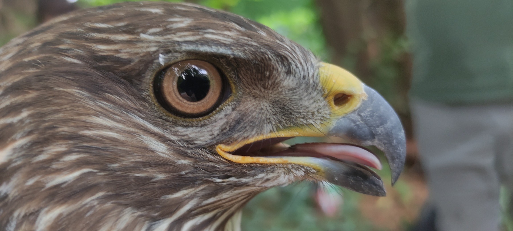
This approach is particularly relevant to the objectives of the AVIATOR project, which works to strengthen monitoring, prevention and cooperation in addressing infectious diseases affecting birds of prey across the Danube Region.
Interestingly, EYWA's mosquito abundance prediction system also includes Vojvodina, Serbia, among the European regions covered by its modelling activities.
🔗 Learn more about EYWA:
https://beyond-eocenter.eu/eywa.html
#AVIATORProject #Interreg #InterregDanubeRegion #DanubeRegion #WestNileVirus #BirdsOfPrey #Raptors #MosquitoBorneDiseases #EarthObservation #OneHealth #WildlifeConservation

27/08/2026
By Vesna Milicevic
Share on social media:



News & Events
Read the most recent updates and explore the upcoming events.


Would you like to receive project updates?
You're already part of our community!
Welcome to our newsletter community!
Subscribe to our newsletter