


Mapping Urban Heat: How Debrecen Uses Satellite Data to Build Climate Resilience
As heatwaves become more frequent and intense, cities across Europe are facing a growing challenge: how to protect residents from the increasing impact of urban heat.
This challenge is particularly urgent in densely built urban areas, where paved surfaces, limited greenery and heat-absorbing materials can significantly increase temperatures. According to the World Health Organization, heat is responsible for more than 175,000 deaths across Europe every year, making climate adaptation a matter of public health as well as urban planning.
In Debrecen, Hungary, the agile pilot implemented by EnviMap – Envirosense Hungary Ltd. focused on one essential question: how can cities make better adaptation decisions based on precise, actionable data?
Turning satellite imagery into urban insight
The pilot used satellite imagery to analyse and classify different urban areas according to their level of heat exposure. The results were then transformed into a comprehensive urban heat stress and risk map, giving the city a clearer understanding of where heat-related risks are most concentrated.
At first glance, the logic may seem simple: the areas with the highest heat exposure should be prioritised for mitigation measures. In practice, however, urban heat risk is more complex.
Heat exposure alone does not tell the full story. The level of vulnerability also matters.
Identifying where intervention is most urgent
To better understand the real risk, experts assessed the vulnerability of key local institutions and communities, including schools, healthcare facilities, social-care centres and neighbourhoods with more exposed populations.
This approach helped identify areas where heat stress could have the most serious consequences and where action is most urgently needed. In some cases, even relatively simple short-term measures, such as installing air conditioning in vulnerable facilities, can make a significant difference and help protect lives.
From short-term protection to long-term resilience
While immediate interventions are important, the pilot also highlighted the need for systematic, long-term urban adaptation. For cities such as Debrecen, building resilience means planning investments carefully and consistently.
This includes expanding green areas, reducing paved surfaces and integrating climate resilience into urban planning and future development decisions.
By combining satellite data, local vulnerability analysis and practical urban planning needs, the Debrecen pilot demonstrates how data-driven tools can support cities in making smarter, more targeted and more effective climate adaptation decisions.
The experience gained through this pilot is relevant far beyond one city. As urban heat becomes an increasingly urgent issue across the Danube Region and Europe, solutions that help cities understand where risks are highest — and where interventions can have the greatest impact — will become essential.
Learn more
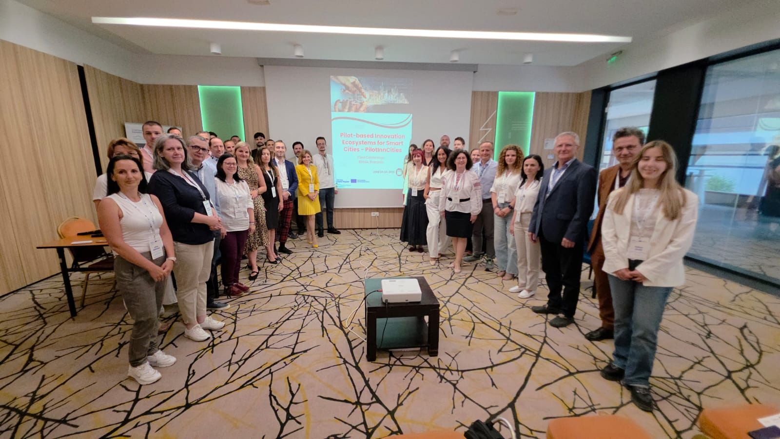
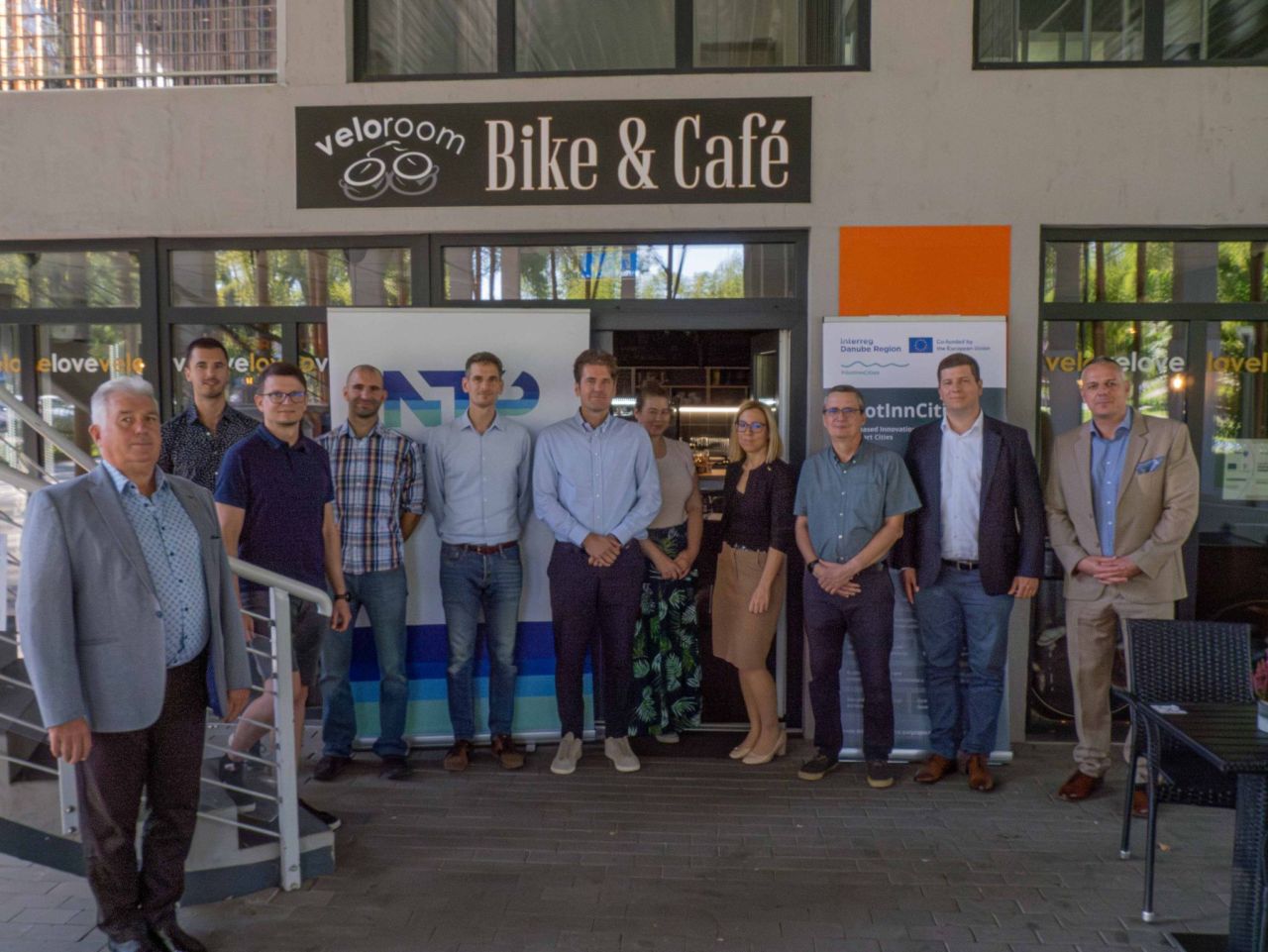
This agile pilot was implemented in Debrecen as part of the PilotInnCities project, with the support of Hungarian project partners:
HROD Social Economy and Community Development Centre
Neumann Technology Platform
EDC Debrecen Urban and Economic Development Center


19/05/2026
By Viktor Holy
Share on social media:


Smart

News & Events
Read the most recent updates and explore the upcoming events.


Would you like to receive project updates?
You're already part of our community!
Welcome to our newsletter community!
Subscribe to our newsletter